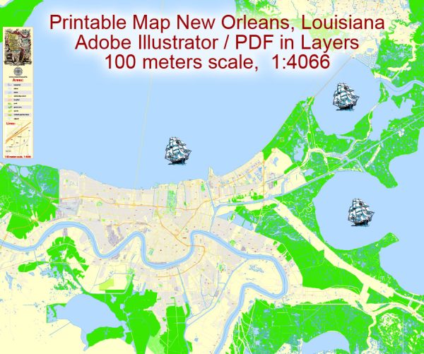
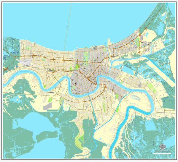
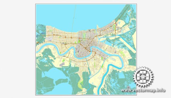
New Orleans, Louisiana, is a vibrant city known for its rich cultural heritage, music, cuisine, and distinctive architecture. The city is situated along the Mississippi River and is characterized by a network of waterways, bridges, and main streets that contribute to its unique charm.
Waterways:
- Mississippi River: The most prominent waterway in New Orleans, the Mississippi River flows alongside the city, serving as a major transportation route and a scenic backdrop.
- Lake Pontchartrain: To the north of the city, Lake Pontchartrain is a large estuary that provides recreational opportunities and contributes to the city’s distinct geography.
- Industrial Canal: This canal connects the Mississippi River to Lake Pontchartrain, facilitating industrial activities and maritime traffic.
Bridges:
- Crescent City Connection (CCC): This bridge spans the Mississippi River and connects the east and west banks of the city. It is a vital transportation link for commuters and visitors.
- Huey P. Long Bridge: Located upriver from the city, this bridge is a key transportation route and is known for its impressive steel truss structure.
- Judge Seeber Bridge (Claiborne Avenue Bridge): This bascule bridge crosses the Industrial Canal, connecting the Lower Ninth Ward with the Bywater neighborhood.
Main Streets:
- Canal Street: Running through the heart of the city, Canal Street is a major thoroughfare lined with shops, restaurants, and historic buildings. It separates the French Quarter from the Central Business District.
- Bourbon Street: Located in the French Quarter, Bourbon Street is famous for its vibrant nightlife, bars, and live music venues.
- St. Charles Avenue: Known for its historic mansions and oak-lined streets, St. Charles Avenue is a scenic route and the main path for the St. Charles streetcar line.
- Magazine Street: This street is renowned for its eclectic mix of shops, galleries, and restaurants, offering a more relaxed and local shopping experience.
- Esplanade Avenue: Running along the edge of the French Quarter, Esplanade Avenue features historic homes, live oak trees, and a median park.
New Orleans’ layout, with its unique combination of waterways, bridges, and historic streets, contributes to the city’s distinctive character and makes it a fascinating place to explore. Each element plays a role in the city’s history, culture, and daily life.
Vectormap.Net provide you with the most accurate and up-to-date vector maps in Adobe Illustrator, PDF and other formats, designed for editing and printing. Please read the vector map descriptions carefully.


 Author: Kirill Shrayber, Ph.D. FRGS