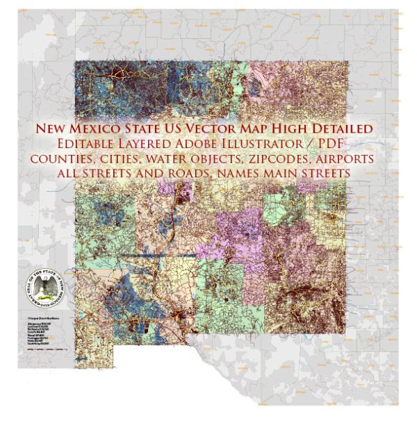
Information on New Mexico’s principal cities, waterways, and main roads. Vectormap.Net provide you with the most accurate and up-to-date vector maps in Adobe Illustrator, PDF and other formats, designed for editing and printing. Please read the vector map descriptions carefully.
Principal Cities:
- Albuquerque: The largest city in New Mexico, located in the central part of the state. It is known for its cultural attractions, including the Old Town and the annual International Balloon Fiesta.
- Santa Fe: The capital of New Mexico, known for its historic adobe buildings and vibrant arts scene. Santa Fe is located in the northern part of the state.
- Las Cruces: Situated in the southern part of New Mexico, Las Cruces is the state’s second-largest city. It is known for its proximity to the Organ Mountains and its agricultural activities.
- Rio Rancho: A rapidly growing city located just north of Albuquerque, offering a mix of residential, commercial, and recreational areas.
- Roswell: Famous for the alleged UFO incident in 1947, Roswell is located in the southeastern part of the state. It has since become a tourist destination.
Waterways:
- Rio Grande: The Rio Grande is a major river that flows through the state, providing water for agriculture and serving as a natural border between the United States and Mexico.
- Pecos River: Running through the eastern part of the state, the Pecos River is a tributary of the Rio Grande and is important for irrigation and recreation.
- Canadian River: This river flows through northeastern New Mexico, serving as a tributary to the Arkansas River.
Main Roads:
- Interstate 25 (I-25): Running north-south, I-25 connects Las Cruces, Albuquerque, and Santa Fe, extending into Colorado and beyond.
- Interstate 40 (I-40): An east-west interstate connecting the Arizona border to the Texas border, passing through Albuquerque.
- U.S. Route 70 (US 70): Running east-west through the southern part of the state, connecting Las Cruces to the Texas border.
- U.S. Route 84 (US 84): This route runs north-south, connecting the southern and northern parts of the state.
- U.S. Route 285 (US 285): Running north-south, US 285 connects Roswell, Santa Fe, and Taos, extending into Colorado.


 Author: Kirill Shrayber, Ph.D.