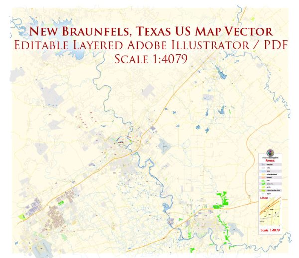
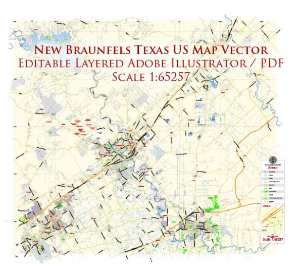
New Braunfels, Texas, is a city located in the central part of the state, known for its rich German heritage and vibrant community. The city is situated along the Guadalupe and Comal Rivers, which are the principal waterways in the area.
Waterways:
- Guadalupe River: This river flows through the eastern part of New Braunfels, offering opportunities for tubing, kayaking, and other water activities. The scenic beauty along the Guadalupe River makes it a popular destination for both residents and tourists.
- Comal River: The Comal River runs through the western part of the city. It is one of the shortest rivers in the world and is known for its crystal-clear waters. Tubing is a favorite pastime on the Comal River, especially in the summer months.
Bridges:
- Faust Street Bridge: This historic bridge spans the Guadalupe River and connects the downtown area with the southern part of the city. It offers picturesque views of the river and is a popular spot for pedestrians.
- Landa Park Drive Bridge: Crossing the Comal River, this bridge provides access to Landa Park, a large public park in New Braunfels. The park is a central recreational area with playgrounds, walking trails, and picnic spots.
Main Streets:
- Seguin Avenue: Located in downtown New Braunfels, Seguin Avenue is a charming street lined with historic buildings, shops, and restaurants. It reflects the city’s German heritage and is a hub of cultural and commercial activity.
- San Antonio Street: Another important street in the downtown area, San Antonio Street is home to various businesses, including boutique shops, art galleries, and eateries. It often hosts events and festivals, contributing to the vibrant atmosphere of the city.
- Common Street: Running parallel to the Guadalupe River, Common Street is a thoroughfare that provides access to parks, neighborhoods, and recreational areas along the riverbanks.
New Braunfels is also known for its historic district, Gruene (pronounced “green”), which features Gruene Hall, Texas’ oldest continually operating dance hall. This area contributes to the city’s unique charm and cultural identity.
Vectormap.Net provide you with the most accurate and up-to-date vector maps in Adobe Illustrator, PDF and other formats, designed for editing and printing. Please read the vector map descriptions carefully.


 Author: Kirill Shrayber, Ph.D. FRGS