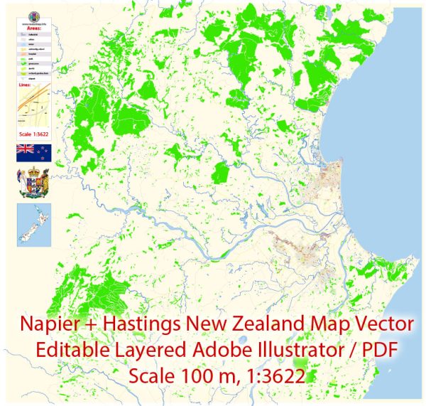
Some general information about Napier and Hastings, two cities located in the Hawke’s Bay region of New Zealand. Vectormap.Net provide you with the most accurate and up-to-date vector maps in Adobe Illustrator, PDF and other formats, designed for editing and printing. Please read the vector map descriptions carefully.
Napier:
- Principal Waterways: Napier is a coastal city situated on the eastern coast of the North Island. The city is characterized by its art deco architecture and is located near Hawke’s Bay. The Ahuriri Estuary and Pandora Pond are significant water features in the vicinity.
- Bridges: The city has several bridges that connect different parts of the urban area, including road and pedestrian bridges. One notable bridge is the Tutaekuri River Bridge, connecting Napier and Taradale.
- Main Streets: Emerson Street is one of Napier’s main streets, known for its historic architecture and vibrant atmosphere. It is lined with shops, cafes, and galleries. Marine Parade is another prominent area along the waterfront, offering scenic views and recreational spaces.
Hastings:
- Principal Waterways: Hastings is also part of the Hawke’s Bay region and is known for its agricultural activities, including vineyards and orchards. The Ngaruroro River flows near Hastings and is a significant watercourse in the region.
- Bridges: The city has various bridges spanning the Ngaruroro River and connecting different parts of Hastings. These bridges facilitate transportation and contribute to the overall infrastructure of the city.
- Main Streets: Heretaunga Street is one of the main streets in Hastings, featuring shops, eateries, and cultural attractions. The city center is known for its inviting atmosphere and serves as a hub for local businesses and events.
It’s important to note that the specifics of waterways, bridges, and main streets can change over time due to urban development and infrastructure projects. For the most up-to-date information, consider checking with local authorities, city planning departments, or recent maps and guides for Napier and Hastings.


 Author: Kirill Shrayber, Ph.D. FRGS