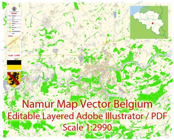
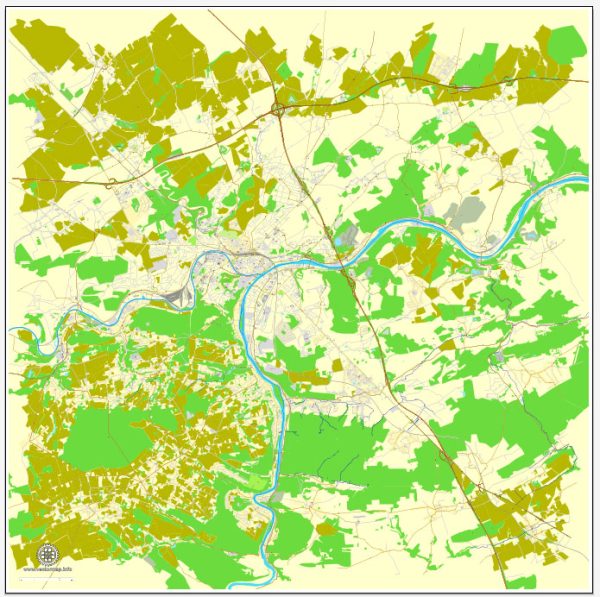
Namur, located in the Wallonia region of Belgium, is a city with a rich history and is situated at the confluence of the Meuse and Sambre rivers. Here’s a description of some of the principal waterways, bridges, and main streets in Namur:
Waterways:
- Meuse River (La Meuse): The Meuse River flows through Namur, dividing the city into two parts. It is a significant waterway, and its banks provide scenic views and recreational areas.
- Sambre River (La Sambre): The Sambre River also flows through Namur, meeting the Meuse at the city center. The confluence of these two rivers adds to the charm of Namur.
Bridges:
- Jambes Bridge (Pont de Jambes): Connecting the neighborhoods of Jambes and Namur, this bridge spans the Meuse River. It offers picturesque views of the river and the city.
- Grognon Bridge (Pont du Grognon): Situated at the confluence of the Meuse and Sambre rivers, the Grognon Bridge is a vital connection point. It provides a stunning panorama of the rivers and the surrounding architecture.
Main Streets:
- Rue de Fer (Iron Street): A historic street in the heart of Namur, Rue de Fer features charming shops, cafes, and restaurants. It is a pedestrian-friendly area, perfect for a leisurely stroll.
- Rue de l’Ange (Angel Street): This street is known for its historic buildings, including the Saint-Loup Church. It provides a glimpse into Namur’s architectural heritage.
- Avenue de la Plante: Running along the Meuse River, Avenue de la Plante offers scenic views and is lined with parks, making it a pleasant place for a walk or bike ride.
- Rue de Bruxelles: Connecting different parts of the city, Rue de Bruxelles is a commercial street with shops, boutiques, and eateries. It reflects the city’s vibrant and diverse atmosphere.
- Place d’Armes: This square is a focal point for events and gatherings. Surrounded by historic buildings and the Namur Citadel, it’s a central location in the city.
Namur’s layout and architecture reflect its long history, and exploring these waterways, bridges, and streets allows visitors to experience the city’s unique blend of natural beauty and cultural heritage. Vectormap.Net provide you with the most accurate and up-to-date vector maps in Adobe Illustrator, PDF and other formats, designed for editing and printing. Please read the vector map descriptions carefully.


 Author: Kirill Shrayber, Ph.D. FRGS