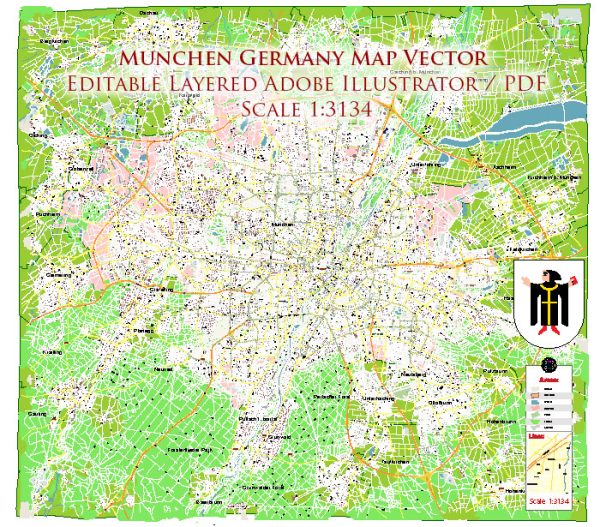
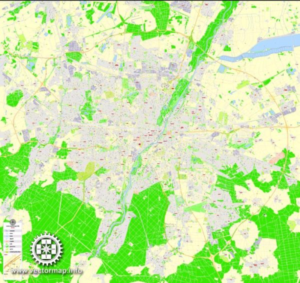
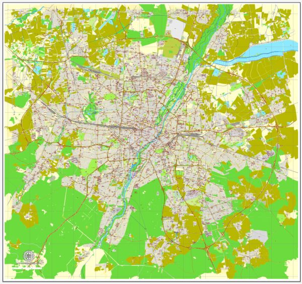
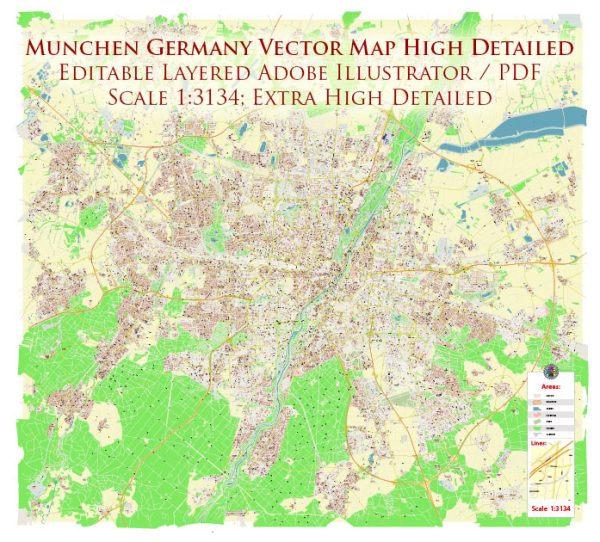
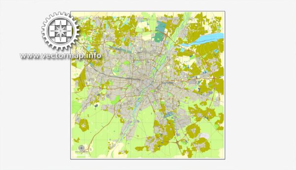
Munich, the capital and largest city of Bavaria in southern Germany, is known for its rich history, cultural heritage, and vibrant urban environment. While Munich is not a city with extensive waterways like some others, it does have a few notable rivers, bridges, and main streets that contribute to its charm.
1. Isar River: The Isar River is one of the principal waterways in Munich. It flows through the city from south to north, offering scenic views and recreational opportunities. The riverbanks are popular for jogging, cycling, and picnicking. There are several bridges that span the Isar, connecting different parts of the city.
2. Bridges:
- Ludwigsbrücke: This bridge crosses the Isar River and is known for its classical architecture. It provides a picturesque view of the cityscape.
- Hackerbrücke: This is another important bridge, especially for those arriving in Munich by train. The Hackerbrücke is close to the main train station and spans the tracks.
- Praterinsel Bridges: The Praterinsel, an island in the Isar River, is accessible via several charming bridges. It’s a recreational area with gardens and cultural events.
3. Main Streets:
- Marienplatz: The central square of Munich, Marienplatz, is surrounded by historic buildings and is a hub for shopping, dining, and entertainment. It’s a starting point for many of Munich’s main streets.
- Maximilianstraße: Known for its upscale shops and boutiques, Maximilianstraße is one of Munich’s most exclusive shopping streets. It runs from Max-Joseph-Platz to the Isar River.
- Kaufingerstraße: A major shopping street, Kaufingerstraße extends from Marienplatz to Karlsplatz (Stachus) and is known for its diverse retail offerings.
- Leopoldstraße: This broad avenue stretches from the city center to the northern part of Munich. It is lined with shops, cafes, and is a popular street during the annual Oktoberfest.
Munich’s cityscape is characterized by a mix of historic and modern architecture, and its urban layout reflects a blend of tradition and cosmopolitanism. While the city is not defined by an extensive network of waterways like some European counterparts, the Isar River and its associated bridges contribute to the overall charm and character of Munich.

 Author: Kirill Shrayber, Ph.D. FRGS