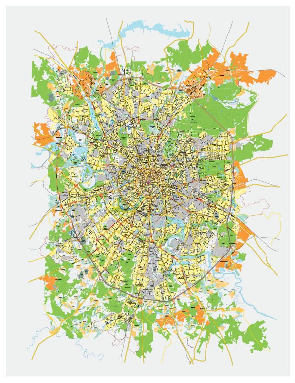
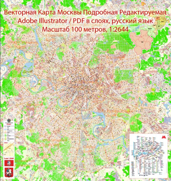
Some of the principal waterways, bridges, and main streets in Moscow, Russia. Vectormap.Net provide you with the most accurate and up-to-date vector maps in Adobe Illustrator, PDF and other formats, designed for editing and printing. Please read the vector map descriptions carefully. Here’s a general overview:
Waterways:
- Moskva River: The Moskva River is the main waterway flowing through Moscow. It divides the city into two parts, with numerous bridges connecting the two sides.
Bridges:
- Bolshoy Kamenny Bridge: One of the oldest bridges in Moscow, it connects the Cathedral of Christ the Saviour with Prechistenskaya embankment.
- Bolshoy Ustinsky Bridge: This is another notable bridge over the Moskva River, connecting Ustinsky Proezd with Bolshaya Ustinskaya Street.
- Andreevsky Bridge: It’s a pedestrian bridge near the Moscow Kremlin, offering picturesque views of the city.
- Krymsky Bridge: This bridge spans the Moskva River and connects Krymsky Val Street with Balchug Island.
Main Streets:
- Tverskaya Street: One of the main radial streets in Moscow, Tverskaya Street runs from Manege Square near the Kremlin and extends northwest.
- Arbat Street: Known for its historic architecture, shops, and street performers, Arbat is a pedestrian street in the heart of Moscow.
- Sadovoye Koltso (Garden Ring): This is a circular avenue around the central part of Moscow, forming a ring of boulevards. It encircles the historical center of the city.
- Novy Arbat: A major avenue known for its modern architecture, shops, and entertainment venues.
- Kutuzovsky Prospekt: This avenue runs westward from the Moscow City business district, passing Victory Park and continuing to the western outskirts of the city.
Remember that Moscow is a dynamic city, and infrastructure may change over time. For the most up-to-date information, you may want to check local sources or recent maps of Moscow.


 Author: Kirill Shrayber, Ph.D. FRGS