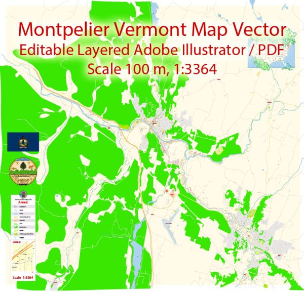
Some general information about Montpelier, Vermont, including its principal waterways, bridges, and main streets. Vectormap.Net provide you with the most accurate and up-to-date vector maps in Adobe Illustrator, PDF and other formats, designed for editing and printing. Please read the vector map descriptions carefully.
Montpelier is the capital city of Vermont and is known for its small size and historic charm. The city is situated along the Winooski River, which is one of its principal waterways. The Winooski River flows through the city, adding natural beauty to the surroundings.
Bridges:
- The Main Street Bridge: Montpelier has a significant bridge known as the Main Street Bridge, which spans the Winooski River. This bridge is a key element in the city’s transportation infrastructure.
Main Streets:
- Main Street: Main Street is a central thoroughfare in Montpelier, lined with shops, restaurants, and historic buildings. It serves as a focal point for the city’s commercial and cultural activities.
- State Street: Another important street in Montpelier is State Street, which runs parallel to Main Street and is home to government buildings, including the Vermont State House.
These streets are known for their pedestrian-friendly atmosphere, and the city has a relatively compact downtown area with a mix of historic and modern architecture.


 Author: Kirill Shrayber, Ph.D. FRGS