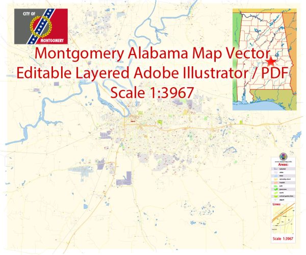
A general overview of Montgomery, Alabama’s principal waterways, bridges, and main streets. Vectormap.Net provide you with the most accurate and up-to-date vector maps in Adobe Illustrator, PDF and other formats, designed for editing and printing. Please read the vector map descriptions carefully.
Principal Waterways:
- Alabama River: Montgomery is situated along the banks of the Alabama River, a major waterway that flows through the state. The river has played a crucial role in the city’s history and continues to be a significant feature.
Bridges:
- Edmund Pettus Bridge: While not located in Montgomery, the Edmund Pettus Bridge is a historically important bridge in nearby Selma, Alabama. It gained prominence during the Civil Rights Movement, particularly during the Selma to Montgomery marches in 1965.
Main Streets:
- Dexter Avenue: Dexter Avenue is a historic street in downtown Montgomery and is known for its association with the Civil Rights Movement. The Dexter Avenue King Memorial Baptist Church, where Dr. Martin Luther King Jr. served as pastor, is located on this street.
- Commerce Street: Another important street in downtown Montgomery, Commerce Street is lined with historic buildings and offers a glimpse into the city’s past.
- Government Street: This street is significant as it runs through the heart of downtown Montgomery and is home to various government buildings, including the Alabama State Capitol.
- Madison Avenue: Madison Avenue is another notable street that intersects with Dexter Avenue and is part of the downtown area.
Please note that Montgomery has a network of streets and roads, and the ones mentioned above are just a few key examples. For the most current and detailed information, consider checking with the City of Montgomery or local tourism offices. Additionally, new developments may have occurred since my last update, so it’s advisable to refer to recent maps and local resources for the latest information on waterways, bridges, and streets in Montgomery, Alabama.


 Author: Kirill Shrayber, Ph.D. FRGS