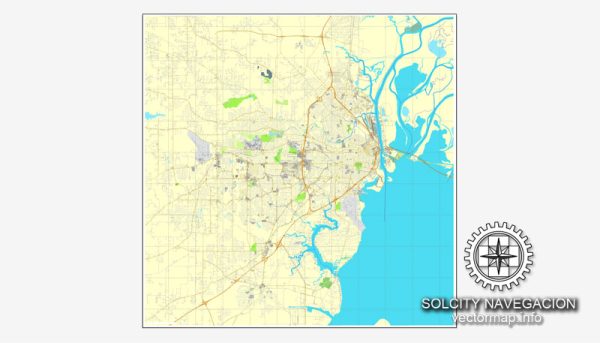
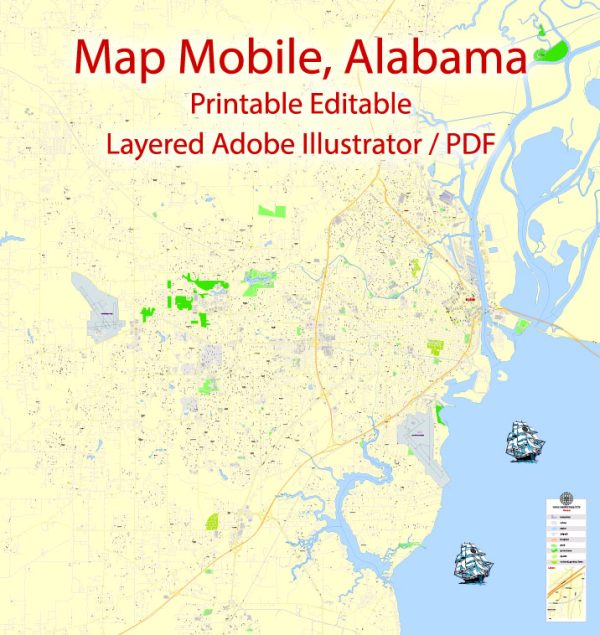
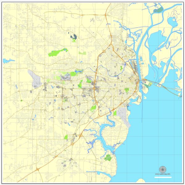
A general overview of Mobile, Alabama’s principal waterways, bridges, and main streets. Vectormap.Net provide you with the most accurate and up-to-date vector maps in Adobe Illustrator, PDF and other formats, designed for editing and printing. Please read the vector map descriptions carefully.
Waterways:
- Mobile River: The Mobile River is a significant waterway that runs through the heart of the city. It connects to the Mobile Bay, providing access to the Gulf of Mexico.
- Mobile Bay: Mobile Bay is a large estuary where the Mobile River meets the Gulf of Mexico. It plays a crucial role in the region’s commerce and provides a connection for shipping.
- Dog River: Dog River is another important waterway in the area, providing additional access to the Mobile Bay.
Bridges:
- Cochrane–Africatown USA Bridge: This bridge spans the Mobile River, connecting the city to the communities of Prichard and Plateau. It is a notable landmark in the region.
- Bankhead Tunnel: Although not a bridge, the Bankhead Tunnel is significant for providing a vehicular connection under the Mobile River, connecting downtown Mobile to the eastern shore.
Main Streets:
- Dauphin Street: Dauphin Street is one of the main thoroughfares in downtown Mobile. It is known for its historic architecture, shops, restaurants, and entertainment venues.
- Government Street: Government Street is another major thoroughfare running through Mobile, connecting downtown to various neighborhoods. It has historical significance and features various businesses and landmarks.
- Water Street: Water Street runs along the waterfront, providing scenic views of the Mobile River. It is also home to a variety of businesses and is a popular area for both locals and visitors.


 Author: Kirill Shrayber, Ph.D. FRGS