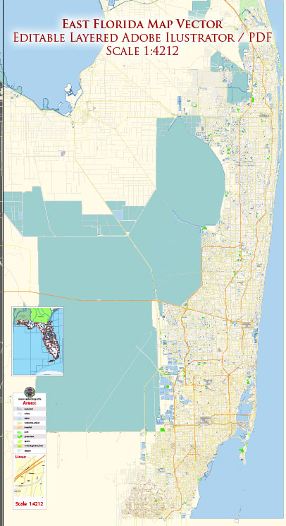
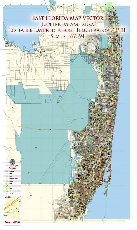
The Miami to Jupiter area in Florida covers a significant stretch of the southeastern coast, including cities like Miami, Fort Lauderdale, West Palm Beach, and Jupiter. Here are some principal waterways, bridges, and main streets in this region:
Waterways:
- Intracoastal Waterway: Running parallel to the Atlantic coast, the Intracoastal Waterway is a key navigational route for boaters and spans the entire Miami to Jupiter area.
- Miami River: Flowing through downtown Miami, the Miami River is a historic waterway that has played a crucial role in the city’s development.
- New River (Fort Lauderdale): This river flows through downtown Fort Lauderdale and connects to the Intracoastal Waterway.
- Lake Worth Lagoon: A large estuary located between West Palm Beach and Palm Beach, providing access to the Atlantic Ocean.
Bridges:
- Julia Tuttle Causeway (Miami): This causeway connects Miami to Miami Beach, spanning Biscayne Bay.
- Venetian Causeway (Miami): Another causeway connecting Miami and Miami Beach, passing through a series of artificial islands.
- Las Olas Boulevard Bridge (Fort Lauderdale): Crossing the Intracoastal Waterway, this bridge is a landmark along Las Olas Boulevard.
- Royal Park Bridge (West Palm Beach): Connecting West Palm Beach to Palm Beach over the Lake Worth Lagoon.
- Jupiter Inlet Bridge (Jupiter): Providing access to Jupiter Island, this bridge crosses the Jupiter Inlet.
Main Streets:
- Ocean Drive (Miami Beach): Famous for its Art Deco architecture and vibrant atmosphere, Ocean Drive is a major street in the South Beach area.
- Las Olas Boulevard (Fort Lauderdale): Lined with shops, galleries, and restaurants, Las Olas Boulevard is a popular destination for shopping and dining.
- Clematis Street (West Palm Beach): Located in downtown West Palm Beach, Clematis Street is a lively area with shops, restaurants, and nightlife.
- Indiantown Road (Jupiter): Running through downtown Jupiter, Indiantown Road is a commercial and entertainment hub.
Vectormap.Net provide you with the most accurate and up-to-date vector maps in Adobe Illustrator, PDF and other formats, designed for editing and printing. Please read the vector map descriptions carefully.


 Author: Kirill Shrayber, Ph.D. FRGS