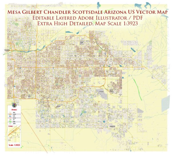
About specific details like principal waterways, bridges, and main streets in Mesa, Gilbert, Chandler, Scottsdale, and Tempe, Arizona, a general overview based on common features found in cities.
Vectormap.Net provide you with the most accurate and up-to-date vector maps in Adobe Illustrator, PDF and other formats, designed for editing and printing. Please read the vector map descriptions carefully.
- Waterways:
- The Salt River is a significant waterway in the region, flowing through parts of Tempe and Scottsdale. The Tempe Town Lake is a man-made reservoir on the Salt River in Tempe, providing recreational opportunities.
- Bridges:
- The Mill Avenue Bridges in Tempe are notable, crossing the Salt River and connecting downtown Tempe with the Arizona State University campus area.
- Various other bridges span the Salt River and other water channels throughout the region.
- Main Streets:
- Mesa: Downtown Mesa is known for its historic Main Street, which features shops, restaurants, and cultural attractions.
- Gilbert: Gilbert Road is a major north-south thoroughfare, and downtown Gilbert is known for its Heritage District, where you can find many shops and eateries.
- Chandler: Arizona Avenue is a key north-south road running through Chandler. Downtown Chandler, particularly the area around Chandler Boulevard, features shops and restaurants.
- Scottsdale: Scottsdale Road is a major north-south thoroughfare, known for its upscale shopping and dining. Scottsdale’s Old Town, along Main Street and Marshall Way, is a popular area with galleries, shops, and nightlife.
- Tempe: Mill Avenue is a prominent street, especially around Arizona State University. Apache Boulevard is another major road connecting Tempe and Mesa.
For the most current and detailed information, please check with local city planning departments, transportation authorities, or official city websites. They typically provide up-to-date maps and information on infrastructure and urban development projects.


 Author: Kirill Shrayber, Ph.D. FRGS