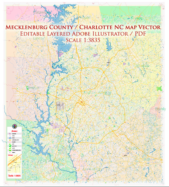
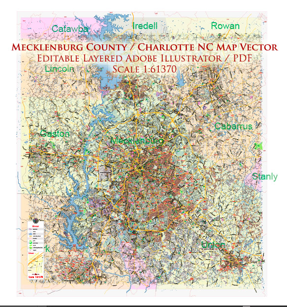
Mecklenburg County, located in the Piedmont region of North Carolina, is home to the city of Charlotte, the largest city in the state. The county is known for its diverse communities, economic activity, and cultural attractions. Here is a brief overview of some of the principal waterways, bridges, and main streets in Mecklenburg County:
Waterways:
- Catawba River: The Catawba River flows through the western part of Mecklenburg County, providing a water source and recreational opportunities for residents.
- Little Sugar Creek: This creek runs through the eastern part of the county and is part of the broader Sugar Creek watershed.
Bridges:
- John Belk Freeway (I-277) Bridge: This bridge spans the I-277 loop, connecting various neighborhoods and providing a key route through the city.
- Catawba Avenue Bridge: Crossing the Catawba River, this bridge is an important link between Mecklenburg County and neighboring areas.
Main Streets:
- Tryon Street: Running through the heart of Uptown Charlotte, Tryon Street is a major thoroughfare lined with businesses, restaurants, and cultural institutions.
- Independence Boulevard (US 74): This road is a major east-west corridor connecting Charlotte to surrounding areas, offering access to shopping centers and residential neighborhoods.
- South Boulevard: Known for its diverse communities and commercial districts, South Boulevard is an important southbound route through Charlotte.
- Trade Street: Another key street in Uptown Charlotte, Trade Street is home to various businesses, hotels, and entertainment venues.
- Queens Road: This picturesque tree-lined street is located in the Myers Park neighborhood and is known for its upscale residences and historic charm.
These are just a few examples, and Mecklenburg County has a comprehensive network of roads and streets connecting its neighborhoods. Additionally, the county continues to invest in infrastructure projects to support its growing population and enhance transportation options. For the most up-to-date information on specific waterways, bridges, and streets, it’s recommended to check with local government sources or maps.


 Author: Kirill Shrayber, Ph.D. FRGS