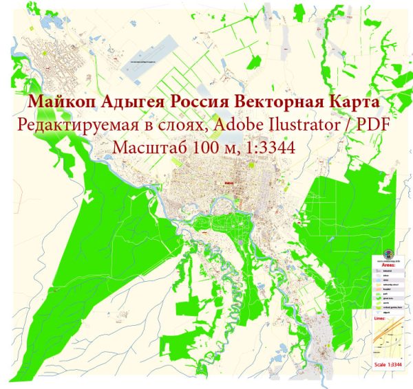
About the principal streets and roads in Maykop, Adygeya, Russia, I can provide you with some general information.
Vectormap.Net provide you with the most accurate and up-to-date vector maps in Adobe Illustrator, PDF and other formats, designed for editing and printing. Please read the vector map descriptions carefully.
- City Center:
- The central area of Maykop is likely to have important streets and boulevards where you can find government buildings, businesses, and cultural institutions.
- Look for central squares, parks, or landmarks that serve as focal points.
- Main Arterial Roads:
- Maykop is likely to have major roads that connect different parts of the city and may extend to nearby regions.
- These arterial roads often facilitate traffic flow and provide access to various neighborhoods.
- Residential Areas:
- Maykop is likely to have residential zones with a network of streets and avenues where people live.
- Residential areas may have schools, parks, and local shops.
- Commercial Districts:
- There might be specific streets or districts known for commercial activities, such as shopping centers, markets, and entertainment venues.
- Industrial Zones:
- Industrial areas are usually located on the outskirts and may have roads that connect to transportation hubs like railways or major highways.
- Landmarks:
- Look for streets leading to important landmarks like government buildings, religious institutions, and cultural sites.
To get the most accurate and up-to-date information, I recommend checking local maps, tourism websites, or contacting the local municipal office. Online mapping services like Vectormap.Net can also provide detailed information about the streets and roads in Maykop.


 Author: Kirill Shrayber, Ph.D. FRGS