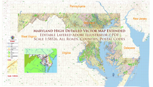
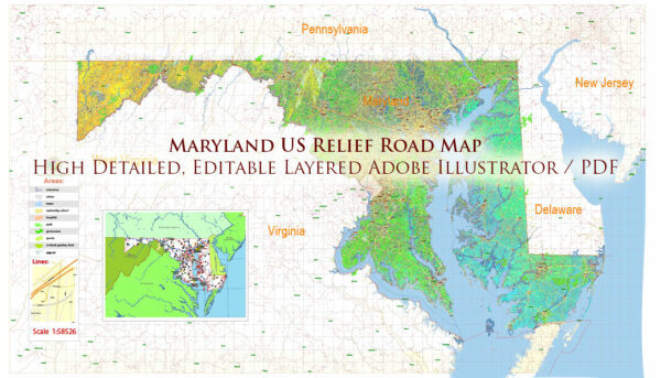
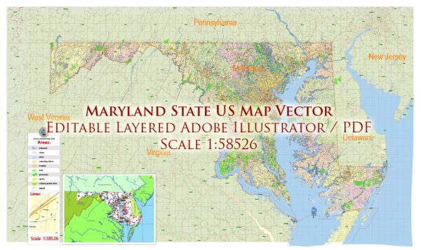
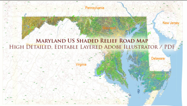
Maryland, located in the Mid-Atlantic region of the United States, is characterized by its diverse geography, including coastal areas, rivers, and rolling hills. Here is a brief description of some principal cities, waterways, and main roads in Maryland:
Principal Cities:
- Baltimore: The largest city in Maryland, situated on the Chesapeake Bay. Known for its rich history, diverse neighborhoods, and the Inner Harbor.
- Annapolis: The state capital and home to the United States Naval Academy. Annapolis is known for its historic architecture, cobblestone streets, and maritime heritage.
- Frederick: A city in Western Maryland known for its vibrant downtown, historic sites, and proximity to the scenic Catoctin Mountains.
- Rockville: Located in Montgomery County, it is a major suburban area with a mix of residential, commercial, and government buildings.
- Gaithersburg: A city in Montgomery County known for its diverse population and the Rio Washingtonian Center, a popular entertainment and shopping district.
Waterways:
- Chesapeake Bay: The largest estuary in the United States, forming the eastern border of Maryland. It is a vital ecosystem and a popular destination for boating and seafood.
- Potomac River: Forms part of Maryland’s western border, separating it from Virginia. The Potomac River is known for its scenic beauty and recreational opportunities.
- Patapsco River: Flows into the Chesapeake Bay and runs through Baltimore. The Patapsco Valley State Park along the river provides hiking and outdoor activities.
Main Roads:
- Interstate 95 (I-95): A major north-south interstate highway that runs through the eastern part of Maryland, connecting Baltimore and Washington, D.C.
- Interstate 70 (I-70): An east-west interstate highway that traverses the state, connecting Baltimore and Frederick to points west.
- U.S. Route 50 (US 50): A major east-west highway that spans Maryland, connecting Annapolis and Washington, D.C., with Ocean City on the Atlantic coast.
- Maryland Route 200 (Intercounty Connector or ICC): A tolled highway providing a direct link between Montgomery and Prince George’s Counties, improving east-west connectivity.
- Baltimore-Washington Parkway: Connects Baltimore and Washington, D.C., passing through the green landscapes of the Patuxent Research Refuge.
These are just a few highlights, and Maryland has a network of roads and waterways that contribute to its connectivity and diverse landscapes.
Vectormap.Net provide you with the most accurate and up-to-date vector maps in Adobe Illustrator, PDF and other formats, designed for editing and printing. Please read the vector map descriptions carefully.


 Author: Kirill Shrayber, Ph.D. FRGS