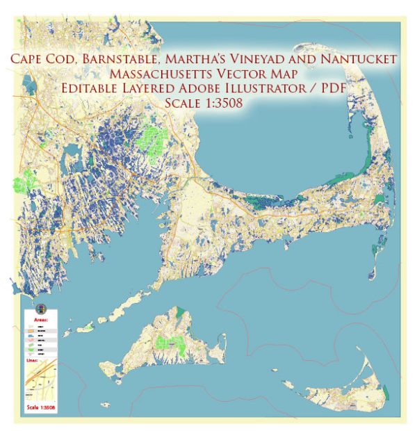
Here’s an overview of the principal streets and roads in Martha’s Vineyard, Cape Cod, Nantucket, and Barnstable, Massachusetts:
Vectormap.Net provide you with the most accurate and up-to-date vector maps in Adobe Illustrator, PDF and other formats, designed for editing and printing. Please read the vector map descriptions carefully.
Martha’s Vineyard:
- Beach Road (State Road): Running through several towns, including Vineyard Haven and Edgartown, Beach Road offers scenic views of the coastline and access to various beaches.
- Main Street (Vineyard Haven): As mentioned before, Main Street in Vineyard Haven is a central thoroughfare with shops, restaurants, and the Steamship Authority terminal.
- Main Street (Edgartown): Edgartown’s Main Street, with its historic architecture, leads to the waterfront and features boutique shops, galleries, and the Old Whaling Church.
- Circuit Avenue (Oak Bluffs): Circuit Avenue in Oak Bluffs is a bustling street known for its vibrant atmosphere, with the famous Flying Horses Carousel and a variety of shops and restaurants.
Cape Cod:
- Route 6 (Mid-Cape Highway): This major east-west highway runs across the “bicep” of Cape Cod, providing access to towns like Hyannis, Barnstable, and Dennis.
- Route 28: Running parallel to Route 6, Route 28 is a scenic route that passes through various Cape Cod towns, offering access to beaches, shopping areas, and historic sites.
- Main Street (Hyannis): Hyannis, a prominent town on Cape Cod, has a Main Street that features a mix of shops, restaurants, and attractions, including the John F. Kennedy Hyannis Museum.
Nantucket:
- Main Street (Nantucket Town): Nantucket Town’s Main Street is a charming and historic thoroughfare lined with cobblestone streets, boutiques, galleries, and restaurants.
- South Water Street: Running along Nantucket Harbor, South Water Street offers picturesque views of the harbor and is home to several waterfront establishments.
Barnstable:
- Route 6A (Old King’s Highway): This scenic highway runs through the town of Barnstable and other parts of Cape Cod, showcasing historic sites, antique shops, and beautiful landscapes.
- Main Street (Hyannis): In Barnstable’s largest village, Hyannis, Main Street is a central location with a variety of shops, restaurants, and cultural attractions.
- Craigville Beach Road: Providing access to Craigville Beach, this road is a popular route in Barnstable and offers scenic views of Nantucket Sound.
These roads and streets play a vital role in connecting the various towns, beaches, and attractions in Martha’s Vineyard, Cape Cod, Nantucket, and Barnstable, providing both locals and visitors with access to the unique charm and beauty of each location.


 Author: Kirill Shrayber, Ph.D. FRGS