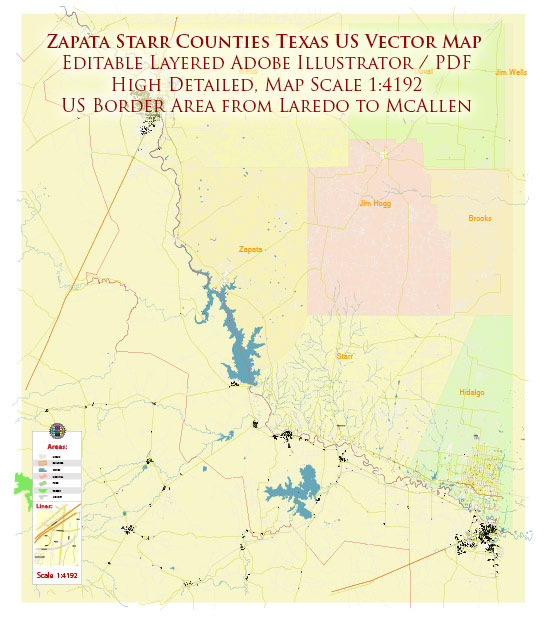
Zapata County and Starr County are located in southern Texas, United States. Here’s a brief description of the principal cities, waterways, and main roads in these counties:
Zapata County:
Principal Cities:
- Zapata: Zapata is the county seat of Zapata County and the largest city in the area. It is located in the southern part of the county.
Waterways:
- Falcon Lake: Zapata County is known for Falcon Lake, a reservoir on the Rio Grande that forms part of the border between the United States and Mexico. Falcon Lake is a popular spot for fishing and water-based recreational activities.
Main Roads:
- U.S. Route 83: This is a major east-west highway that passes through Zapata County, connecting it to other parts of Texas.
Starr County:
Principal Cities:
- Rio Grande City: Rio Grande City is the county seat of Starr County and one of the principal cities. It is situated along the Rio Grande, serving as a border city.
Waterways:
- Rio Grande: The Rio Grande River forms the border between Starr County and Mexico, providing a natural boundary.
Main Roads:
- U.S. Route 83: Similar to Zapata County, U.S. Route 83 is a significant highway in Starr County, facilitating transportation and connectivity.
- Texas State Highway 16: This highway runs through Starr County, providing additional transportation routes.
These counties are known for their proximity to the Rio Grande, offering scenic landscapes and recreational opportunities. Falcon Lake, in particular, is a notable reservoir that contributes to the region’s appeal for outdoor enthusiasts. The highways mentioned play a crucial role in connecting these counties with other parts of Texas and facilitating the movement of goods and people.


 Author: Kirill Shrayber, Ph.D. FRGS