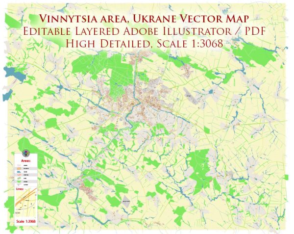
Some general information about Vinnytsia, Ukraine, including its principal waterways, bridges, and main streets. Vectormap.Net provide you with the most accurate and up-to-date vector maps in Adobe Illustrator, PDF and other formats, designed for editing and printing. Please read the vector map descriptions carefully.
Waterways: Vinnytsia is situated on the banks of the Southern Bug River, which is the principal waterway in the region. The river plays a significant role in the city’s geography and provides a scenic backdrop to various areas.
Bridges: Vinnytsia has several bridges spanning the Southern Bug River, facilitating transportation and connecting different parts of the city. Specific details about each bridge may vary, but notable ones include:
- Old Bridge (Starovinnyi Most): This is one of the historical bridges in Vinnytsia. It has architectural significance and connects different parts of the city.
- New Bridge (Novyi Most): This is likely a more modern bridge, and its design and construction might vary depending on the time of its development.
- Kievskyi Bridge: This bridge could be another notable structure, especially if it connects Vinnytsia with the Kievskyi district.
Main Streets: Vinnytsia has a network of streets and avenues that make up its urban infrastructure. Some main streets and avenues include:
- Soborna Street: A central street that may have commercial and cultural significance, with shops, restaurants, and historical landmarks.
- Kyivska Street: Another important thoroughfare, possibly connecting Vinnytsia to the Kievskyi district.
- Teatralna Street: This street might lead to cultural and entertainment venues, possibly hosting the city’s theater.
- Universitetska Street: If there is a university in Vinnytsia, this street could lead to or pass by it.
Keep in mind that the development of cities is dynamic, and there may have been changes or new developments since my last update. For the most accurate and up-to-date information, I recommend checking local sources, maps, or contacting the city authorities or tourism offices in Vinnytsia.


 Author: Kirill Shrayber, Ph.D. FRGS