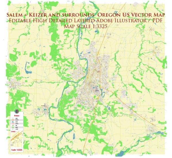
A general description of Salem and Keizer, Oregon, including some information about their principal waterways, bridges, and main streets. Vectormap.Net provide you with the most accurate and up-to-date vector maps in Adobe Illustrator, PDF and other formats, designed for editing and printing. Please read the vector map descriptions carefully.
Salem, Oregon:
- Principal Waterways:
- Willamette River: The Willamette River runs through Salem, providing a significant waterway. Riverfront Park along the river is a popular recreational area.
- Bridges:
- Marion Street Bridge: This bridge spans the Willamette River, connecting downtown Salem to West Salem.
- Center Street Bridge: Another bridge crossing the Willamette River, providing access to the Minto-Brown Island Park.
- Main Streets:
- State Street: State Street is a major east-west thoroughfare running through downtown Salem.
- Commercial Street: Commercial Street is a prominent street in the downtown area, hosting shops, restaurants, and cultural attractions.
- Lancaster Drive: Lancaster Drive is a significant north-south corridor, home to various businesses and shopping centers.
Keizer, Oregon:
- Principal Waterways:
- Willamette River: Similar to Salem, Keizer is situated along the Willamette River, with some areas providing access to the river.
- Bridges:
- There are no major bridges exclusively within Keizer itself, but residents often use the Marion Street Bridge to access Salem.
- Main Streets:
- River Road North: River Road is a key north-south road in Keizer, featuring commercial areas, residential neighborhoods, and access to parks.
- Chemawa Road North: Chemawa Road is another major thoroughfare connecting different parts of Keizer.
For the most current and detailed information, especially regarding any changes in infrastructure or development, it’s recommended to check with local government sources, city planning departments, or updated maps and guides for Salem and Keizer. Additionally, community websites and local news outlets may provide the latest information on waterways, bridges, and main streets in these Oregon cities.


 Author: Kirill Shrayber, Ph.D.