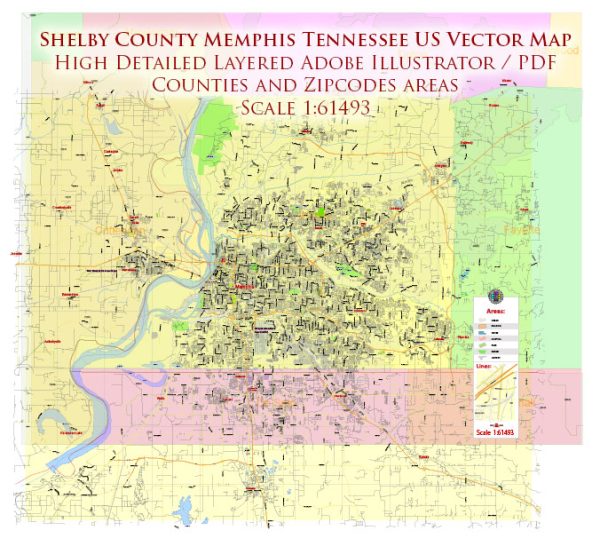
Some general information about Memphis and Shelby County, Tennessee, including principal waterways, bridges, and main streets. Vectormap.Net provide you with the most accurate and up-to-date vector maps in Adobe Illustrator, PDF and other formats, designed for editing and printing. Please read the vector map descriptions carefully.
Principal Waterways:
- Mississippi River: Memphis is situated along the eastern bank of the Mississippi River, one of the major rivers in North America. The river plays a crucial role in transportation and commerce in the region.
- Wolf River: This is a tributary of the Mississippi River, flowing through the Memphis area. The Wolf River is important for recreation and wildlife conservation.
Bridges:
- Hernando de Soto Bridge: This iconic bridge spans the Mississippi River, connecting Memphis, Tennessee, with West Memphis, Arkansas. It is a vital transportation link in the region.
- Memphis & Arkansas Bridge: Also known as the “Old Bridge,” it is another bridge connecting Memphis and West Memphis. It is situated upstream from the Hernando de Soto Bridge.
Main Streets:
- Beale Street: Known for its historic significance in the development of blues music, Beale Street is a major attraction in downtown Memphis. It’s lined with vibrant clubs, restaurants, and shops.
- Main Street: This street runs through downtown Memphis and is home to various businesses, shops, and cultural venues.
- Union Avenue: Another important street in downtown Memphis, Union Avenue is known for its historic buildings, hotels, and theaters.
- Poplar Avenue: A major east-west thoroughfare, Poplar Avenue stretches across Memphis and is lined with various businesses, shopping centers, and residential areas.
- Lamar Avenue: Running south from downtown Memphis, Lamar Avenue is a significant commercial and industrial corridor.
Please note that these are just a few examples, and there are many other streets and neighborhoods in Memphis and Shelby County that contribute to the vibrant character of the region. Vectormap.Net provide you with the most accurate and up-to-date vector maps in Adobe Illustrator, PDF and other formats, designed for editing and printing. Please read the vector map descriptions carefully.


 Author: Kirill Shrayber, Ph.D. FRGS