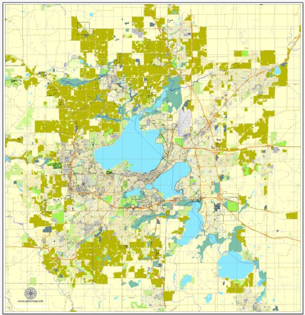
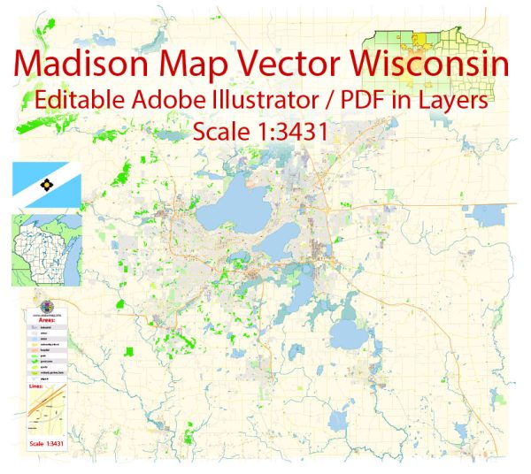
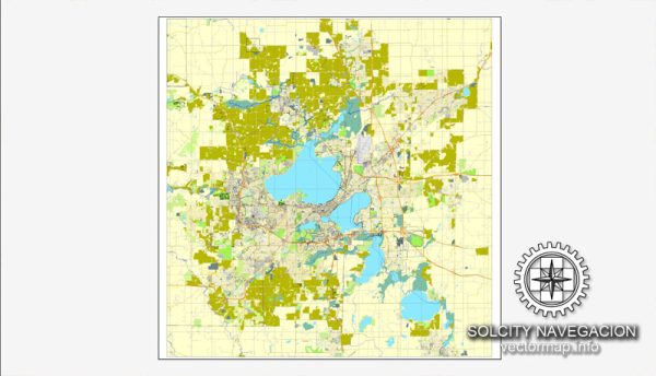
Madison, Wisconsin, is the capital city and the second-largest city in the state. The city is known for its picturesque lakes, vibrant community, and well-planned urban layout. Here’s a brief description of some of the principal waterways, bridges, and main streets in Madison:
Waterways:
- Four Lakes:
- Madison is surrounded by four major lakes: Lake Mendota, Lake Monona, Lake Waubesa, and Lake Kegonsa.
- Lake Mendota is the largest of the four and lies to the north of the isthmus.
- Yahara River:
- Yahara River connects the four lakes and runs through the city, defining the isthmus.
Bridges:
- John Nolen Drive Bridge:
- This bridge spans Lake Monona, connecting downtown Madison with the John Nolen Drive corridor.
- Tenney Park Lock and Dam:
- Located on the Yahara River, this area includes a lock and dam system, creating a scenic spot and a connection between Lake Mendota and Lake Monona.
Main Streets:
- State Street:
- State Street is a pedestrian mall that runs through downtown Madison, connecting the Capitol Square with the University of Wisconsin campus. It’s lined with shops, restaurants, and entertainment venues.
- Capitol Square:
- Surrounding the Wisconsin State Capitol building, Capitol Square is the central hub of the city. It features the Capitol building, various government offices, and is a focal point for events and gatherings.
- University Avenue:
- Connecting the University of Wisconsin-Madison campus with the western parts of the city, University Avenue is a major thoroughfare with shops, restaurants, and businesses.
- John Nolen Drive:
- Running along the shores of Lake Monona, John Nolen Drive offers scenic views of the lake and provides access to parks and recreational areas.
- East Washington Avenue:
- This east-west artery connects the Capitol Square with the eastern parts of the city, passing through various neighborhoods and commercial districts.
Madison’s layout is influenced by its isthmus location and the presence of lakes, creating a unique and beautiful urban landscape. The combination of waterways, bridges, and main streets contributes to the city’s charm and accessibility. Keep in mind that developments and infrastructure may change, so it’s always a good idea to check for the latest information.


 Author: Kirill Shrayber, Ph.D.