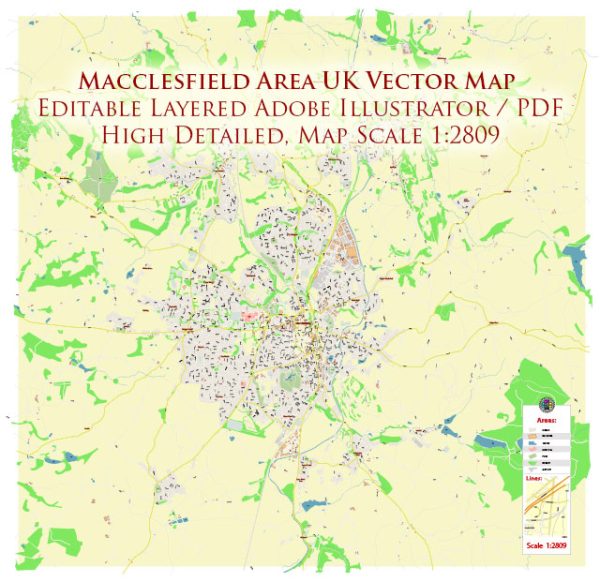
Information about Macclesfield’s streets and roads, a general overview of the town’s layout and some key streets and roads that were prominent at that time. Vectormap.Net provide you with the most accurate and up-to-date vector maps in Adobe Illustrator, PDF and other formats, designed for editing and printing. Please read the vector map descriptions carefully.
Macclesfield is a market town in the unitary authority of Cheshire East, England. Some of the principal streets and roads in Macclesfield include:
- Mill Street: Mill Street is a central street in Macclesfield with a mix of shops, restaurants, and businesses.
- Chestergate: Another central street, Chestergate is known for its historical buildings and traditional architecture.
- Church Street: This street is close to St. Michael’s Church and may have various shops and amenities.
- Park Green: A central area with a green space, surrounded by shops and cafes.
- Sunderland Street: Located in the town center, Sunderland Street has a mix of shops and services.
- King Edward Street: This street is known for its historic buildings and is part of the town’s conservation area.
- Hibel Road: Connecting various parts of Macclesfield, Hibel Road may have residential and commercial areas.
- London Road: A major road that connects Macclesfield to other towns and cities, such as Congleton and Stoke-on-Trent.
- Silk Road: Macclesfield has a historical connection to the silk industry, and Silk Road may reflect this heritage.
Please note that this is a general overview, and the prominence and significance of streets may vary. For specific and updated information, it’s advisable to check a local map or consult with the local authorities in Macclesfield.


 Author: Kirill Shrayber, Ph.D. FRGS