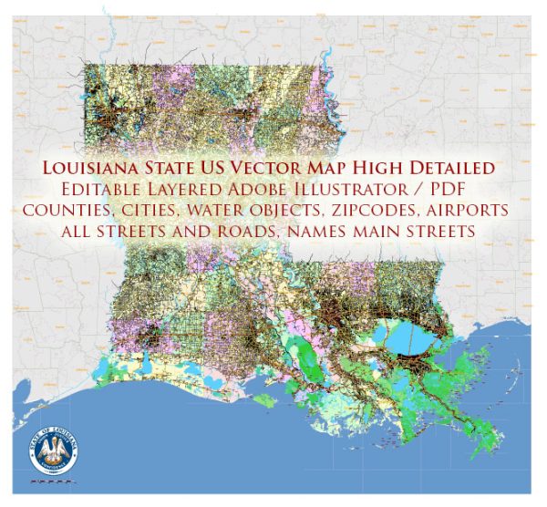
Louisiana is a state located in the southeastern region of the United States. It is known for its unique culture, diverse landscapes, and the influence of French, African, and Spanish heritage. Here are some principal cities, waterways, and main roads in Louisiana:
Principal Cities:
- New Orleans: Famous for its vibrant music scene, historic French Quarter, and annual Mardi Gras celebration.
- Baton Rouge: The state capital, situated on the banks of the Mississippi River. It is home to the Louisiana State Capitol and Louisiana State University.
- Shreveport: Located in the northwestern part of the state, Shreveport is a major economic and cultural hub.
- Lafayette: Known for its Cajun and Creole culture, Lafayette is located in the southwestern part of the state.
- Lake Charles: Situated in the southwestern region, Lake Charles is known for its gaming industry, outdoor recreation, and festivals.
Waterways:
- Mississippi River: The Mississippi River runs along the eastern border of the state, and it is a major transportation route and a key feature of Louisiana’s geography.
- Atchafalaya River: A distributary of the Mississippi River, the Atchafalaya is the largest swamp in the United States and an important natural feature in Louisiana.
- Red River: Flowing through the northwestern part of the state, the Red River forms part of the border with Texas and Arkansas.
- Lake Pontchartrain: A large brackish estuary located to the north of New Orleans, it is connected to the Gulf of Mexico.
Main Roads:
- Interstate 10 (I-10): A major east-west interstate highway that traverses the southern part of the state, connecting major cities like New Orleans and Baton Rouge.
- Interstate 20 (I-20): Running through the northern part of the state, I-20 connects Shreveport with cities in Texas and the southeastern U.S.
- Interstate 49 (I-49): Connecting Shreveport and Lafayette, I-49 is a north-south interstate that extends into Arkansas and eventually down to New Orleans.
- U.S. Highway 90 (US 90): Running parallel to the Gulf of Mexico, US 90 connects major cities along the southern coast, including New Orleans.
- U.S. Highway 61 (US 61): Known as the “Blues Highway,” US 61 runs parallel to the Mississippi River and connects Baton Rouge to Natchez, Mississippi.
These principal cities, waterways, and main roads contribute to the economic, cultural, and geographical diversity of Louisiana. The state’s unique blend of traditions and landscapes makes it a distinctive and fascinating part of the United States.
Vectormap.Net provide you with the most accurate and up-to-date vector maps in Adobe Illustrator, PDF and other formats, designed for editing and printing. Please read the vector map descriptions carefully.


 Author: Kirill Shrayber, Ph.D. FRGS