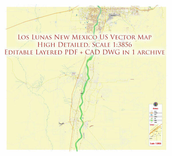
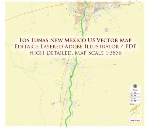
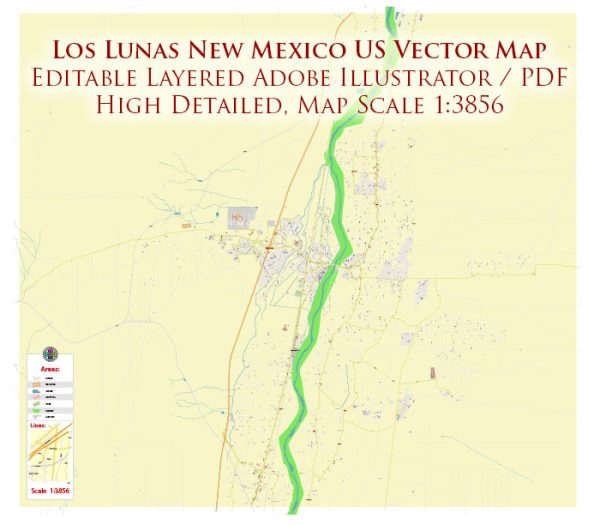
Los Lunas, New Mexico, a general overview of some principal streets and roads. Vectormap.Net provide you with the most accurate and up-to-date vector maps in Adobe Illustrator, PDF and other formats, designed for editing and printing. Please read the vector map descriptions carefully.
- Main Street: Main Street is often a central thoroughfare in many towns. It typically hosts a variety of shops, restaurants, and local businesses.
- Highway 6: This is a significant road that may pass through or near Los Lunas. Highways are essential for regional and intercity travel.
- Los Lentes Road: This road may be an important local route, providing access to different neighborhoods and amenities.
- NM-314: Also known as the Historic Route 66, this highway might pass through or near Los Lunas. Route 66 is a historic and iconic highway in the United States.
- Camino del Valle: This road may be a connector between different areas within Los Lunas.
- Jaramillo Loop: It’s common for towns to have loop roads that facilitate traffic flow and provide access to various parts of the community.
To get the most accurate and up-to-date information, especially for specific addresses or detailed directions, I recommend checking with a local map, navigation app, or the official city or county transportation department. You may also contact the town’s local government or visit their official website for the latest information on streets and roads.


 Author: Kirill Shrayber, Ph.D. FRGS