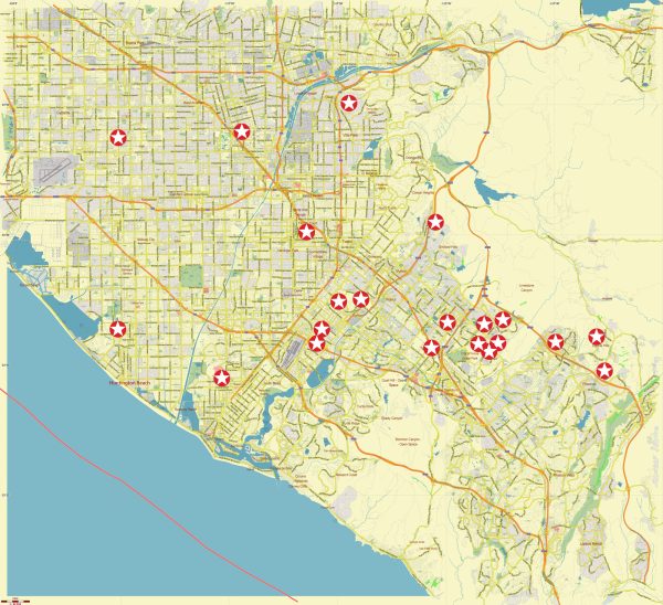
A general overview of some principal streets and roads in South-East Los Angeles, California. Vectormap.Net provide you with the most accurate and up-to-date vector maps in Adobe Illustrator, PDF and other formats, designed for editing and printing. Please read the vector map descriptions carefully. Here are some notable streets and roads in the South-East Los Angeles area:
- Long Beach Boulevard: Running north-south, Long Beach Boulevard is a major thoroughfare that passes through several communities in South-East Los Angeles.
- Atlantic Avenue: Another significant north-south route, Atlantic Avenue, is known for its commercial establishments and provides access to various neighborhoods.
- Firestone Boulevard: Running east-west, Firestone Boulevard is a key artery in the area, connecting several neighborhoods and commercial areas.
- Florence Avenue: This east-west road traverses through South-East Los Angeles and intersects with major north-south streets.
- Slauson Avenue: Slauson Avenue is an important east-west street that cuts across the South-East Los Angeles region.
- Central Avenue: This north-south thoroughfare has historical significance and extends through parts of South-East Los Angeles.
- Imperial Highway: Running east-west, Imperial Highway is a major route that connects various parts of Los Angeles, including the South-East area.
- Wilmington Avenue: A notable north-south street that runs through the eastern part of South-East Los Angeles.
- Compton Avenue: This north-south street is situated in the western part of South-East Los Angeles.
- San Pedro Street: Running north-south, San Pedro Street is another street that plays a role in the transportation network in the area.
These are just a few examples, and the South-East Los Angeles area has a network of streets and roads that connect various neighborhoods and commercial areas. Keep in mind that new developments or changes in infrastructure may have occurred since my last update, so it’s advisable to check local maps or navigation apps for the latest information.


 Author: Kirill Shrayber, Ph.D. FRGS