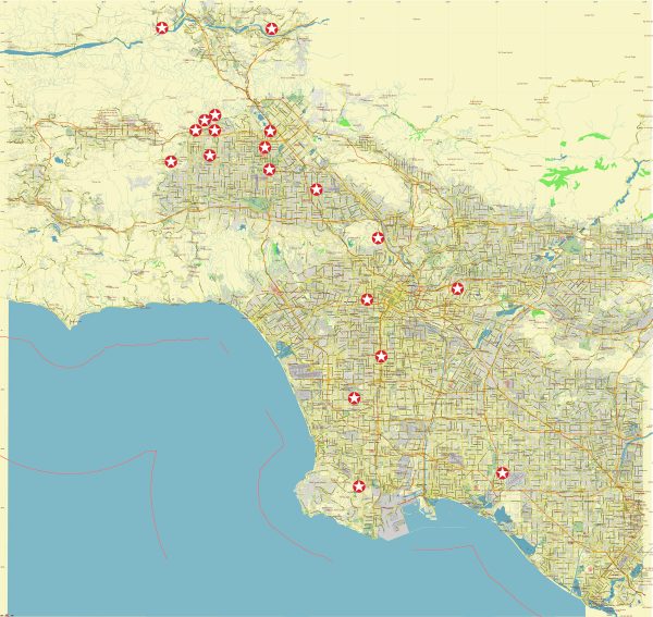
Northwest Los Angeles is a diverse and sprawling region that includes neighborhoods such as Sherman Oaks, Studio City, Encino, Reseda, Van Nuys, and Tarzana. Here are some principal streets and roads in this area:
- Ventura Boulevard: Running east-west, Ventura Boulevard is a major commercial thoroughfare that passes through Sherman Oaks, Studio City, and Encino. It is known for its shopping, dining, and entertainment options.
- Sepulveda Boulevard: This north-south thoroughfare runs parallel to the 405 Freeway and passes through areas like Van Nuys and Sherman Oaks. It provides access to various neighborhoods and commercial areas.
- Topanga Canyon Boulevard: Running north-south, Topanga Canyon Boulevard connects the San Fernando Valley to the Westside. It passes through neighborhoods like Canoga Park and Woodland Hills.
- Reseda Boulevard: This street runs north-south through the neighborhoods of Reseda and Tarzana, providing access to residential areas and local businesses.
- Sherman Way: Running east-west, Sherman Way is a major street that passes through neighborhoods like Van Nuys and Reseda, offering access to local shops and services.
- Balboa Boulevard: Balboa Boulevard runs north-south and is a key route through areas such as Van Nuys and Encino. It is known for the scenic Balboa Lake Park.
- Woodman Avenue: Woodman Avenue runs north-south and passes through areas like Van Nuys and Sherman Oaks, providing access to residential neighborhoods and local amenities.
- Van Nuys Boulevard: This north-south street runs through the heart of Van Nuys and is a major commercial and cultural hub in the area.
- Mulholland Drive: Although more famous for its scenic views of Los Angeles, Mulholland Drive also serves as a winding road along the hills that separates the San Fernando Valley from the Westside.
- 101 Freeway (Ventura Freeway): The 101 Freeway is a major highway that runs east-west through the San Fernando Valley, connecting it to downtown Los Angeles and the Westside.
These are just a few of the principal streets and roads in Northwest Los Angeles. The area is characterized by a network of streets that connect residential neighborhoods, commercial districts, and recreational areas. Keep in mind that the layout and significance of these streets can vary in different neighborhoods within the region.
Vectormap.Net provide you with the most accurate and up-to-date vector maps in Adobe Illustrator, PDF and other formats, designed for editing and printing. Please read the vector map descriptions carefully.


 Author: Kirill Shrayber, Ph.D. FRGS