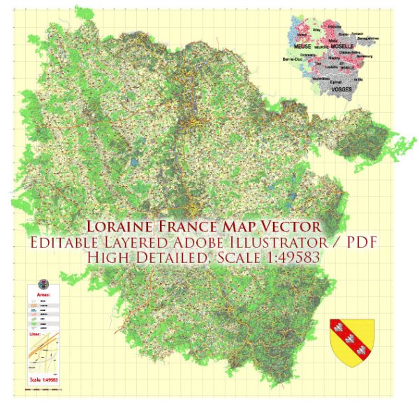
Lorraine is a historical region in northeastern France, and it is characterized by a network of rivers, cities, and roads. Vectormap.Net provide you with the most accurate and up-to-date vector maps in Adobe Illustrator, PDF and other formats, designed for editing and printing. Please read the vector map descriptions carefully. Here are some principal waterways, cities, and main roads in the Lorraine region:
Principal Waterways:
- Moselle River: The Moselle is a significant river that flows through the region, passing through cities like Nancy and Metz. It is a tributary of the Rhine River.
Cities:
- Nancy: The capital city of the Lorraine region, known for its architectural heritage, including the UNESCO-listed Place Stanislas.
- Metz: A historic city situated along the Moselle River, renowned for its cathedral, medieval architecture, and cultural institutions.
- Epinal: This city is located on the Moselle River and is known for its imagery, including the famous Épinal prints.
- Thionville: A town with a rich history, located along the Moselle River, known for its fortifications and historical sites.
Main Roads:
- A31 (Autoroute 31): A major north-south highway connecting Luxembourg to Beaune, passing through cities like Metz and Nancy.
- A4 (Autoroute 4): An east-west highway connecting Strasbourg to Paris, passing through Metz.
- N4 (Route Nationale 4): A national road running from Paris to Strasbourg, passing through Nancy and connecting various towns.
- N57 (Route Nationale 57): A national road connecting Nancy to the border with Luxembourg, passing through Metz.
These roads facilitate transportation and connect the cities within the Lorraine region and beyond. Keep in mind that changes to infrastructure and road networks may occur, so it’s recommended to consult updated maps or local sources for the latest information. Additionally, for the most current details on waterways, it’s advisable to refer to navigational charts or local authorities.


 Author: Kirill Shrayber, Ph.D. FRGS