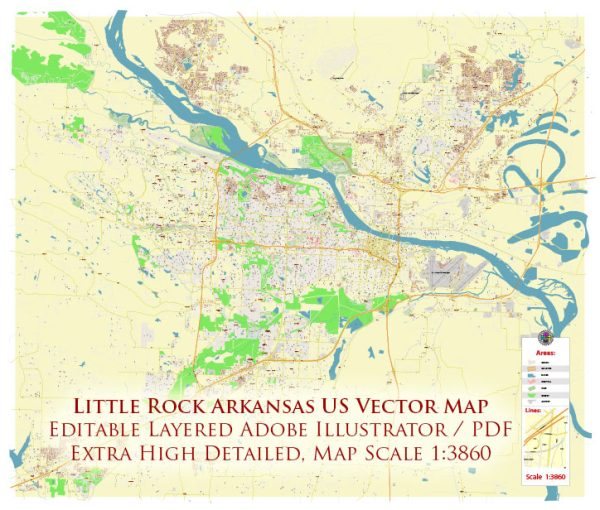
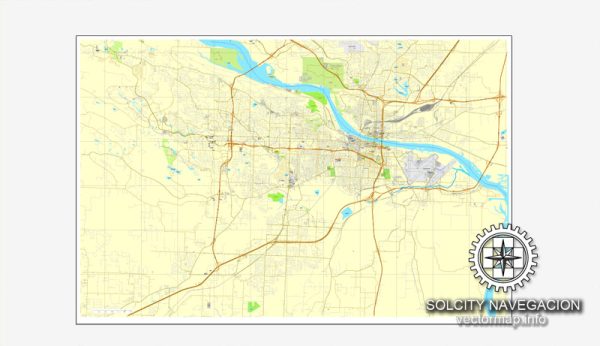
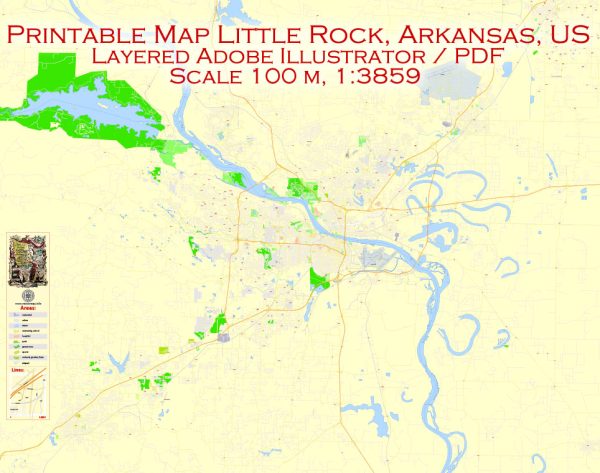
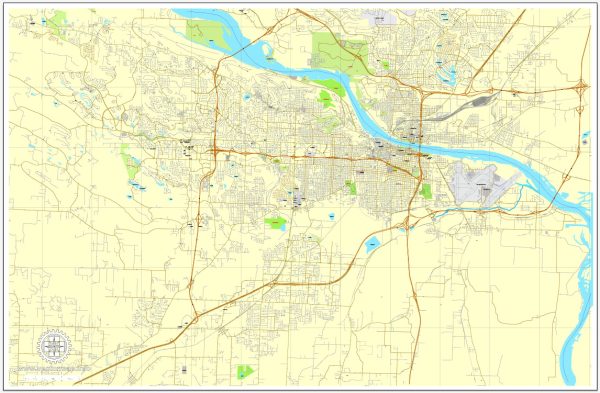
A general description of the principal waterways, bridges, and main streets in Little Rock, Arkansas, USA. We provide you with the most accurate and up-to-date vector maps in Adobe Illustrator, PDF and other formats, designed for editing and printing. Please read the vector map descriptions carefully.
Principal Waterways:
- Arkansas River: The Arkansas River flows through Little Rock, providing a significant waterway for the city. It plays a crucial role in the region’s transportation and commerce.
Bridges:
- Big Dam Bridge: This is one of the notable bridges in Little Rock, connecting the cities of Little Rock and North Little Rock. It spans the Arkansas River and is particularly popular among pedestrians and cyclists.
- Two Rivers Bridge: Located in the River Mountain Park, this bridge also spans the Arkansas River, connecting Two Rivers Park to the north bank of the river.
- Main Street Bridge: This bridge spans the Arkansas River and connects downtown Little Rock to the Argenta Historic District in North Little Rock.
Main Streets:
- Main Street: As the name suggests, Main Street is one of the primary thoroughfares in downtown Little Rock. It’s home to various shops, restaurants, and businesses.
- President Clinton Avenue: This street is named after former President Bill Clinton, who began his political career in Arkansas. It runs through downtown and is close to the William J. Clinton Presidential Library.
- Markham Street: Markham Street is a major east-west thoroughfare that passes through the downtown area, connecting various neighborhoods and commercial districts.
- Broadway Street: Broadway Street is another significant road in the downtown area, hosting a mix of businesses, entertainment venues, and cultural institutions.


 Author: Kirill Shrayber, Ph.D. FRGS