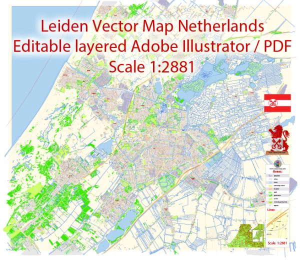
Leiden, located in the province of South Holland in the Netherlands, is a picturesque city with a network of canals, bridges, and historic streets. Here’s a description of some of the principal waterways, bridges, and main streets in Leiden:
Waterways (Canals):
- Old Rhine (Oude Rijn): This river runs through the heart of Leiden and is a significant waterway in the city. Many historic buildings line its banks, and it adds to the overall charm of the city.
- Nieuwe Rijn: Parallel to the Old Rhine, the Nieuwe Rijn is another important canal that contributes to the scenic beauty of Leiden. It’s surrounded by cafes, restaurants, and shops.
- Rapenburg: This canal is renowned for its historic significance. It is bordered by elegant canal houses and is home to the University of Leiden and several museums.
Bridges:
- Koornbrug: One of the most iconic bridges in Leiden, the Koornbrug dates back to the 17th century. It spans the Old Rhine and is known for its picturesque views.
- Vismarkt Bridge: Located near the fish market, this bridge offers stunning views of the Nieuwe Rijn and the surrounding historic architecture.
- Blauwpoortsbrug: Crossing the Rapenburg canal, this bridge is notable for its blue railings and is surrounded by historic buildings and landmarks.
Main Streets:
- Haarlemmerstraat: One of the main shopping streets in Leiden, Haarlemmerstraat is lined with a variety of shops, boutiques, and cafes. It’s a bustling area and a popular destination for both locals and tourists.
- Breestraat: This is another important shopping street that runs through the heart of Leiden. It is home to a mix of shops, restaurants, and cultural institutions.
- Steenstraat: Steenstraat is a charming street known for its historic buildings and unique shops. It’s a great place for a leisurely stroll and exploring the local architecture.
Leiden’s city center is characterized by its well-preserved historical architecture, picturesque canals, and vibrant atmosphere. The combination of waterways, bridges, and main streets creates a unique and charming experience for visitors exploring this Dutch city.


 Author: Kirill Shrayber, Ph.D. FRGS