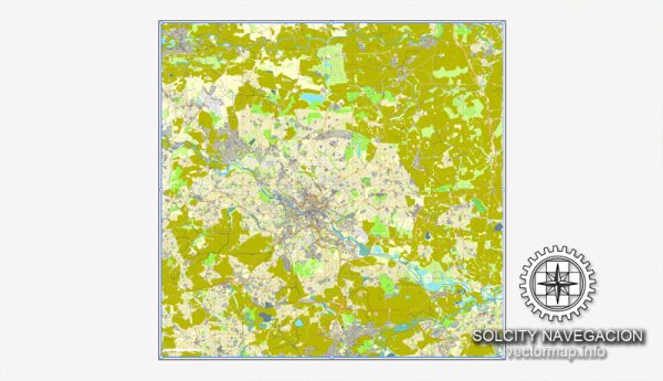
Leeds, located in West Yorkshire, United Kingdom, is a vibrant city with a rich history and a network of waterways, bridges, and main roads that contribute to its character. Here’s a general description of some of Leeds’ principal waterways, bridges, and main roads:
Waterways:
- River Aire:
- The River Aire is a prominent waterway flowing through the heart of Leeds. It has played a crucial role in the city’s industrial development.
- Leeds and Liverpool Canal:
- This historic canal connects Leeds to Liverpool, offering picturesque views and serving as a popular route for boating and leisure activities.
Bridges:
- Leeds Bridge:
- One of the city’s iconic landmarks, Leeds Bridge spans the River Aire and connects the districts of Leeds.
- Victoria Bridge:
- Victoria Bridge is another historic bridge over the River Aire, providing a crucial link in the city’s transportation network.
- Crown Point Bridge:
- Located near the Leeds Dock area, Crown Point Bridge is a modern structure that adds to the architectural diversity of the city.
Main Roads:
- A61 (Regent Street):
- Regent Street is a major road in Leeds, connecting the city center to the surrounding areas. It’s lined with shops, businesses, and cultural venues.
- A64 (York Road):
- This road provides a route from Leeds to York and serves as a vital connection for commuters traveling eastward.
- M621 Motorway:
- The M621 is a key motorway that encircles the southern part of Leeds, facilitating transportation within the city and connecting to the broader motorway network.
- Inner Ring Road:
- The Inner Ring Road encircles the city center, providing access to various districts and easing traffic flow within Leeds.
- A58 (Wellington Street):
- Wellington Street is an important road connecting the city center to the western parts of Leeds.
We provide you with the most accurate and up-to-date vector maps in Adobe Illustrator, PDF and other formats, designed for editing and printing. Please read the vector map descriptions carefully. It’s advisable to check for the latest information from local authorities or official sources for the most up-to-date details on Leeds’ waterways, bridges, and main roads.


 Author: Kirill Shrayber, Ph.D.