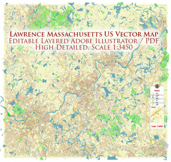
Lawrence, Massachusetts, is a city located in Essex County. While I can provide information on some major streets and roads in Lawrence, we provide you with the most accurate and up-to-date vector maps in Adobe Illustrator, PDF and other formats, designed for editing and printing. Please read the vector map descriptions carefully.
- Broadway: Broadway is a significant thoroughfare running through Lawrence. It connects various neighborhoods and commercial areas in the city.
- Essex Street: Essex Street is another important road in Lawrence, providing access to different parts of the city and hosting various businesses.
- Merrimack Street: Merrimack Street is a central road in Lawrence, running parallel to the Merrimack River. It is home to many shops, restaurants, and businesses.
- Haverhill Street: Haverhill Street is a major north-south road in Lawrence. It intersects with several other important streets and provides access to different neighborhoods.
- Common Street: Common Street is located in the downtown area of Lawrence and is known for its historic architecture and connection to Lawrence’s cultural heritage.
- Andover Street: Andover Street is another notable road in Lawrence, offering access to both residential and commercial areas.
- Canal Street: Canal Street runs parallel to the Merrimack River and is named after the historic canals that played a crucial role in Lawrence’s industrial history.
- Park Street: Park Street is situated in the southern part of Lawrence and connects various neighborhoods.
- Lawrence Expressway (MA Route 114): This route passes through Lawrence, providing a connection to neighboring towns and cities.
- South Broadway (MA Route 28): South Broadway is part of Route 28, offering transportation through Lawrence and connecting to other parts of the region.
Remember that Lawrence is a relatively small city, and these streets and roads are just a few of the main arteries. It’s always a good idea to consult a local map or navigation tool for the most up-to-date and detailed information on Lawrence’s streets and roads.


 Author: Kirill Shrayber, Ph.D. FRGS