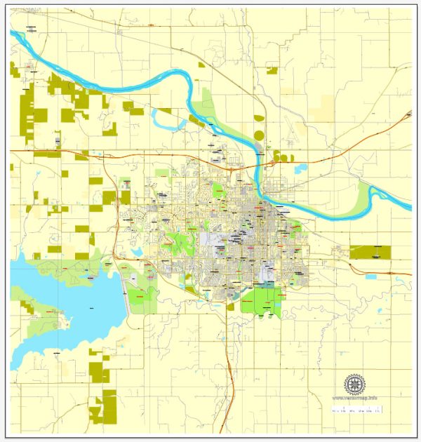
a general overview of the principal streets and roads in Lawrence, Kansas. We provide you with the most accurate and up-to-date vector maps in Adobe Illustrator, PDF and other formats, designed for editing and printing. Please read the vector map descriptions carefully. Here are some of the main streets and roads in Lawrence:
- Massachusetts Street (Mass Street): This is the main street running through downtown Lawrence. It is known for its historic buildings, shops, restaurants, and cultural attractions.
- Clinton Parkway: A major east-west road in Lawrence, Clinton Parkway connects various neighborhoods and commercial areas.
- 6th Street: Running east-west, 6th Street is another important thoroughfare in Lawrence, passing through residential and commercial areas.
- 23rd Street: This street runs east-west and is a key route for accessing the southern part of Lawrence, including the University of Kansas campus.
- Iowa Street: A north-south road, Iowa Street is a major commercial corridor with various businesses, shopping centers, and restaurants.
- Bob Billings Parkway: Connecting the western and eastern parts of Lawrence, Bob Billings Parkway is an important route for commuters.
- Kasold Drive: This road runs north-south and provides access to residential neighborhoods, parks, and schools.
- Haskell Avenue: Haskell Avenue is notable for its connection to Haskell Indian Nations University and runs through both residential and commercial areas.
- 15th Street: Running east-west, 15th Street serves as a local connector and provides access to residential neighborhoods and schools.
- 9th Street: Another east-west road, 9th Street passes through both residential and commercial areas.
These are just a few of the main streets in Lawrence, and the city has an extensive network of roads connecting various neighborhoods, parks, and amenities. Keep in mind that new developments or changes to the infrastructure may have occurred since my last update, so it’s advisable to check with local sources for the most current information.


 Author: Kirill Shrayber, Ph.D. FRGS