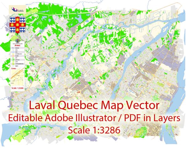
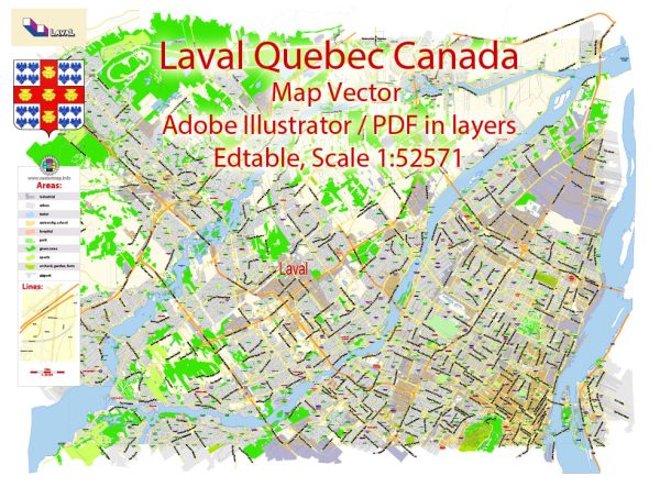
Some general information about Laval, Quebec, Canada’s principal waterways, bridges, and main roads. We provide you with the most accurate and up-to-date vector maps in Adobe Illustrator, PDF and other formats, designed for editing and printing. Please read the vector map descriptions carefully.
Waterways:
- Rivière des Mille Îles: Laval is situated on the north shore of the island of Montreal and is bordered by the Rivière des Mille Îles to the west. This river is part of a network of waterways that include several islands.
- Rivière des Prairies: Laval is also bordered to the south by the Rivière des Prairies, which separates it from the island of Montreal.
Bridges:
- Pont Viau: This is a significant bridge connecting Laval and Montreal over the Rivière des Prairies. It plays a crucial role in facilitating transportation between the two areas.
- Pont Lachapelle: Connecting Laval and Rosemère, this bridge spans the Rivière des Mille Îles.
- Pont Papineau-Leblanc: Also known as the Papineau-Leblanc Bridge, it connects Laval and Montreal over the Rivière des Prairies.
Main Roads:
- Autoroute 15 (Autoroute des Laurentides): This is a major north-south highway that runs through Laval, connecting it to Montreal and other municipalities to the north.
- Autoroute 440 (Autoroute Laval): This east-west highway runs through Laval and connects various parts of the city.
- Boulevard Saint-Martin: A significant east-west thoroughfare in Laval, connecting various neighborhoods and commercial areas.
- Boulevard des Laurentides: This north-south boulevard is an important route in Laval, connecting different parts of the city and providing access to Autoroute 15.
Please note that urban infrastructure may change, and new developments may occur. For the most current and detailed information, it is advisable to check with local authorities or use online mapping services.


 Author: Kirill Shrayber, Ph.D.