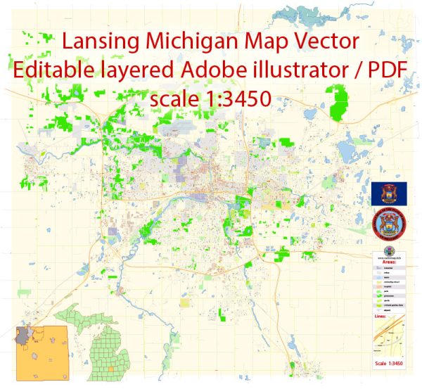
Lansing, the capital city of Michigan, is laid out on a grid system with a combination of major roads, streets, and avenues. Here are some principal streets and roads in Lansing:
- Michigan Avenue (M-43): Michigan Avenue is one of the main east-west thoroughfares in Lansing. It runs through the heart of downtown and is home to various businesses, shops, and government buildings.
- Grand River Avenue: Another important east-west route, Grand River Avenue intersects Michigan Avenue in downtown Lansing. It’s known for its commercial establishments and provides access to different neighborhoods.
- Capitol Avenue: Capitol Avenue runs north-south and is particularly significant because it leads directly to the Michigan State Capitol building. It intersects Michigan Avenue in downtown Lansing.
- Washington Avenue: This street is located near the state capitol and runs parallel to Capitol Avenue. It is home to several government offices and commercial establishments.
- Larch Street: Larch Street is a north-south road that intersects Michigan Avenue and provides access to the Michigan State University campus.
- Homer Street: Located in the Old Town district, Homer Street is known for its historic charm and is lined with unique shops, galleries, and restaurants.
- Martin Luther King Jr. Boulevard: This boulevard runs north-south and intersects with Michigan Avenue. It’s home to the Lansing Center, a convention center, and offers access to the riverfront.
- Cedar Street: Cedar Street is a major north-south road that connects south Lansing to the northern parts of the city. It is a commercial corridor with various services and amenities.
- Waverly Road: Waverly Road runs north-south on the west side of Lansing and provides access to residential neighborhoods and local businesses.
- Jolly Road: Jolly Road is an east-west road on the south side of Lansing, passing through both residential and commercial areas.
- Pennsylvania Avenue: This avenue runs north-south and intersects with Michigan Avenue. It is home to the Lansing Community College and other businesses.
Keep in mind that Lansing’s street layout is relatively straightforward, with numbered streets increasing as you move away from the Capitol building in downtown Lansing. This information is a general overview, and road networks can change over time due to development and city planning. We provide you with the most accurate and up-to-date vector maps in Adobe Illustrator, PDF and other formats, designed for editing and printing. Please read the vector map descriptions carefully.


 Author: Kirill Shrayber, Ph.D.