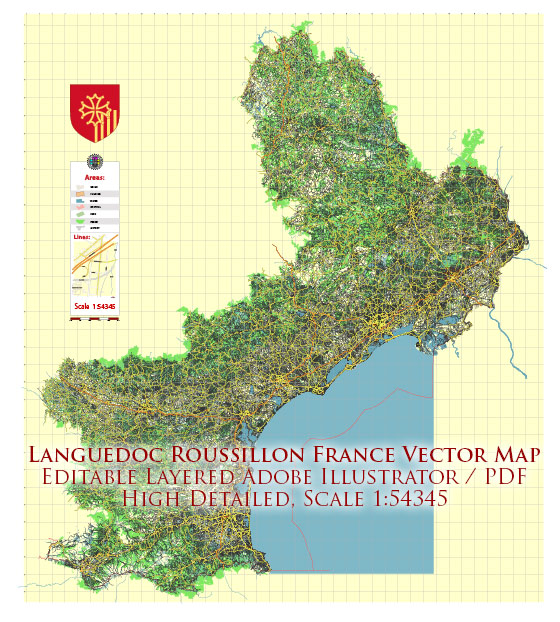
The administrative region of Languedoc-Roussillon no longer exists as a separate entity. In 2016, it was merged with the region of Midi-Pyrénées to form a new administrative region called Occitanie. Information about some of the main cities and roads in the former Languedoc-Roussillon region. We provide you with the most accurate and up-to-date vector maps in Adobe Illustrator, PDF and other formats, designed for editing and printing. Please read the vector map descriptions carefully.
Main Cities in Languedoc-Roussillon:
- Montpellier: This city is the capital of the Hérault department and was one of the major cities in the Languedoc-Roussillon region. It is known for its historic architecture, universities, and cultural events.
- Nîmes: Famous for its well-preserved Roman architecture, Nîmes is a city in the Gard department. The Roman amphitheater, Maison Carrée, and the Pont du Gard are notable landmarks.
- Perpignan: Located in the Pyrénées-Orientales department, Perpignan is known for its Catalan influence, evident in its architecture, cuisine, and cultural heritage.
- Carcassonne: Although technically not a city but a fortified town, Carcassonne is a UNESCO World Heritage Site known for its medieval fortress, La Cité, which is one of the best-preserved medieval citadels in Europe.
- Béziers: Situated in the Hérault department, Béziers is known for its historic structures, including the Saint-Nazaire Cathedral and the Canal du Midi.
Main Roads:
- A9 (La Languedocienne): This is a major north-south highway that runs through Languedoc-Roussillon, connecting cities such as Nîmes, Montpellier, and Perpignan. It is a crucial route for transportation in the region.
- A61 (Autoroute des Deux Mers): While not entirely within the former Languedoc-Roussillon region, the A61 is an important east-west highway that connects Toulouse (in the former Midi-Pyrénées region) to Narbonne in the Aude department.
- N113: This national highway runs through the region, connecting cities like Narbonne and Carcassonne.
- D6009 (Route Nationale 9): This road runs parallel to the Mediterranean coast and passes through cities like Perpignan and Narbonne.


 Author: Kirill Shrayber, Ph.D. FRGS