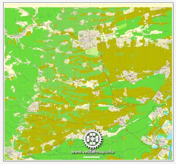
Principal streets and roads in Landau, Germany. We provide you with the most accurate and up-to-date vector maps in Adobe Illustrator, PDF and other formats, designed for editing and printing. Please read the vector map descriptions carefully.
Some general information on what you might find in a typical German city like Landau:
- City Center:
- The city center often has a mix of pedestrian zones and streets with vehicle access.
- Landmarks, shopping areas, and historical sites are typically concentrated in this area.
- Main Roads:
- Bundesstraßen (federal highways) and Landesstraßen (state highways) are the main roads connecting cities and towns in Germany.
- Autobahnen (highways) are also critical for long-distance travel. However, Landau might not have a direct autobahn connection.
- Local Roads:
- Hauptstraße (main street) or Marktplatz (market square) are common names for central streets.
- Wohnstraßen (residential streets) and Nebenstraßen (side streets) form the local road network.
- Public Transport Routes:
- Bus and tram routes connect different parts of the city and nearby areas.
To get the most accurate and up-to-date information, I recommend checking with local authorities, maps, or online mapping services like Vectormap.Net. We provide detailed information about streets, roads, and points of interest in a given location.


 Author: Kirill Shrayber, Ph.D. FRGS