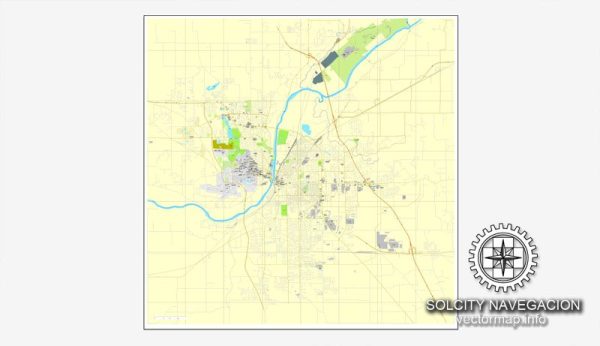
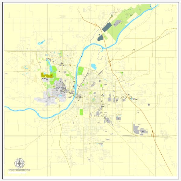
A general overview of some principal streets and roads in Lafayette, Indiana. We provide you with the most accurate and up-to-date vector maps in Adobe Illustrator, PDF and other formats, designed for editing and printing. Please read the vector map descriptions carefully. Here are some key streets and roads in Lafayette:
- Main Street: Main Street is a central road in downtown Lafayette, featuring shops, restaurants, and other businesses.
- Columbia Street: Another important street in the downtown area, Columbia Street intersects with Main Street and is known for its historic architecture.
- Sagamore Parkway: Sagamore Parkway is a major thoroughfare that loops around Lafayette and West Lafayette. It connects various neighborhoods and commercial areas.
- Teal Road (State Road 25): Running east-west, Teal Road is a significant road in Lafayette that connects various residential and commercial areas.
- Creasy Lane: Creasy Lane is an important north-south road in Lafayette, connecting Sagamore Parkway to South Street.
- South Street: South Street runs east-west through Lafayette, providing access to both residential and commercial areas.
- 9th Street: This street runs through different parts of Lafayette, and it is known for various local businesses and neighborhoods.
- Brady Lane: Located in the southern part of Lafayette, Brady Lane connects several residential neighborhoods.
- Veterans Memorial Parkway: This parkway provides a bypass route around the eastern side of Lafayette, connecting various parts of the city.
- Kossuth Street: Kossuth Street is situated in the eastern part of Lafayette, connecting different neighborhoods.
It’s important to note that Lafayette has a grid-like street layout in many areas, which can make navigation relatively straightforward. Keep in mind that new developments or changes in infrastructure may have occurred since my last update, so it’s advisable to check with local sources for the latest information.


 Author: Kirill Shrayber, Ph.D. FRGS