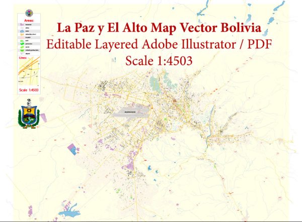
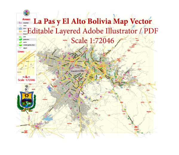
La Paz and El Alto are neighboring cities located in the highlands of Bolivia. La Paz, the administrative capital, and El Alto, a rapidly growing city, are connected by various streets and roads that traverse the mountainous terrain. Here are some principal streets and roads in La Paz and El Alto:
- Prado Avenue (Avenida del Prado):
- Located in the heart of La Paz, this avenue is known for its bustling commercial activity, shops, and restaurants.
- 16 de Julio Avenue (Avenida 16 de Julio):
- Also called the Prado, it is one of the main avenues in La Paz and is often used for parades and events.
- Sánchez Lima Avenue (Avenida Sánchez Lima):
- Another important avenue in La Paz, known for its commercial and business activities.
- Mariscal Santa Cruz Avenue (Avenida Mariscal Santa Cruz):
- A major avenue running through the city, lined with shops, banks, and offices.
- El Prado Street (Calle El Prado):
- A historic street in La Paz, known for its colonial architecture, shops, and cultural attractions.
- Illampu Street (Calle Illampu):
- This street is famous for its indigenous markets, where you can find traditional Bolivian crafts and goods.
- Autopista La Paz-El Alto:
- The highway connecting La Paz and El Alto, providing a crucial link between the two cities. It offers breathtaking views of the surrounding mountains.
- Ceja de El Alto:
- A strategic area in El Alto where various avenues converge, offering access to different parts of the city.
- Avenida 6 de Marzo:
- A significant avenue in El Alto, known for its markets and commercial activities.
- Avenida 1 de Mayo:
- Another important street in El Alto, contributing to the city’s urban infrastructure.
- Avenida Alfonso Ugarte:
- Connecting La Paz and El Alto, this avenue is an essential route for transportation between the two cities.
It’s important to note that both La Paz and El Alto have a unique topography, with steep and winding streets due to their mountainous location. The road network plays a crucial role in connecting these cities and facilitating transportation and commerce in the region. Additionally, local markets, plazas, and landmarks contribute to the distinctive character of each street and avenue in La Paz and El Alto.
We provide you with the most accurate and up-to-date vector maps in Adobe Illustrator, PDF and other formats, designed for editing and printing. Please read the vector map descriptions carefully.


 Author: Kirill Shrayber, Ph.D. FRGS