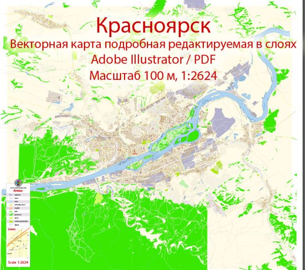
Principal waterways, bridges, and main roads in Krasnoyarsk, Russia, a general information about the city’s geography and infrastructure.
Krasnoyarsk is a major city located in the Krasnoyarsk Krai region of Siberia, Russia. The Yenisei River, one of the longest rivers in the world, flows through the city. The Yenisei River is a significant waterway and plays a crucial role in the transportation of goods in the region.
Bridges: Krasnoyarsk is known for its iconic bridge, the Communal Bridge (Most Mira), which spans the Yenisei River. It is one of the key landmarks in the city. The bridge provides a vital transportation link between the two banks of the river.
Main Roads: The city has a network of roads and streets that connect various neighborhoods and districts. The road infrastructure includes major avenues and highways that facilitate transportation within the city and the surrounding areas. Krasnoyarsk is well-connected by road to other cities in the region and across Russia.
We provide you with the most accurate and up-to-date vector maps in Adobe Illustrator, PDF and other formats, designed for editing and printing. Please read the vector map descriptions carefully.


 Author: Kirill Shrayber, Ph.D. FRGS