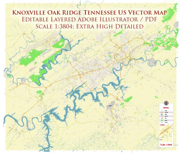
Knoxville and Oak Ridge are neighboring cities in eastern Tennessee, United States. We provide you with the most accurate and up-to-date vector maps in Adobe Illustrator, PDF and other formats, designed for editing and printing. Please read the vector map descriptions carefully. Here’s a brief overview of some principal streets and roads in both Knoxville and Oak Ridge:
Knoxville:
- Interstate 40 (I-40): This major east-west interstate runs through Knoxville, connecting the city to other major Tennessee cities like Nashville and Memphis.
- Interstate 275 (I-275): A spur of I-75, I-275 serves as a connector between I-40 and downtown Knoxville.
- Interstate 640 (I-640): A bypass route around the northern side of Knoxville, providing an alternative route for through traffic.
- Kingston Pike (U.S. Route 11): A major east-west arterial road running through Knoxville, lined with commercial establishments, restaurants, and residential areas.
- Cumberland Avenue (U.S. Route 11): Also known as “The Strip,” Cumberland Avenue is a prominent street running through the University of Tennessee campus area, offering a mix of shops, dining, and student housing.
- James White Parkway: Connecting I-40 to Neyland Drive, this parkway runs along the western edge of downtown Knoxville and provides scenic views of the Tennessee River.
- Neyland Drive: Running along the banks of the Tennessee River, Neyland Drive offers beautiful waterfront views and access to the University of Tennessee campus.
Oak Ridge:
- Tennessee State Route 62 (TN-62): Running through Oak Ridge, TN-62 connects the city to surrounding areas.
- Oak Ridge Turnpike (State Route 95): A significant east-west road in Oak Ridge, providing access to key areas including the Oak Ridge National Laboratory.
- Illinois Avenue: One of the main north-south roads in Oak Ridge, connecting the central part of the city.
- Tulane Avenue: Another important road in Oak Ridge, intersecting with the Oak Ridge Turnpike and providing access to various neighborhoods.
- Scarboro Road: Serving the Scarboro neighborhood, this road is located in the eastern part of Oak Ridge.
Please note that the information provided here is a general overview, and road networks can change over time due to construction or urban planning developments. For the most accurate and up-to-date information, it’s recommended to consult local maps or navigation systems.


 Author: Kirill Shrayber, Ph.D.