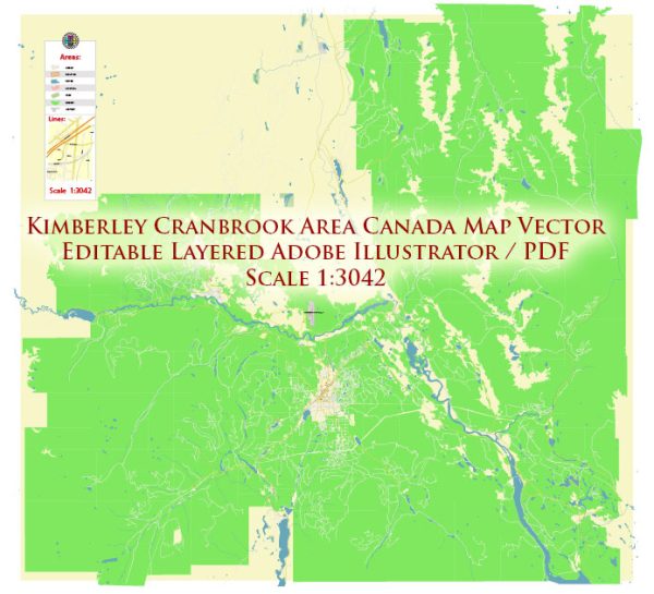
A general description of principal streets and roads in Kimberley and Cranbrook, British Columbia, Canada. We provide you with the most accurate and up-to-date vector maps in Adobe Illustrator, PDF and other formats, designed for editing and printing. Please read the vector map descriptions carefully.
Kimberley:
- Kimberley Avenue: This is one of the main roads in Kimberley, running through the heart of the city. It is likely to have commercial establishments, shops, and services.
- Wallinger Avenue: Another important street in Kimberley, Wallinger Avenue may feature a mix of residential and commercial areas.
- Gerry Sorensen Way: This road could be significant for access to recreational areas or public facilities.
- Higgins Street: A street that might connect different neighborhoods and provide access to local amenities.
Cranbrook:
- Baker Street: One of the main streets in Cranbrook, Baker Street is likely to have a mix of businesses, shops, and services.
- Cranbrook Street North and South: These streets may be key arteries in the city, hosting a variety of commercial and residential properties.
- 10th Avenue South: This could be an important east-west road, connecting various parts of Cranbrook.
- Victoria Avenue: Another street to note, likely to have a mix of establishments and services.
Please note that the road network can change, and new developments may have occurred since my last update. For the most accurate and up-to-date information, consider checking with local authorities, maps, or online mapping services.


 Author: Kirill Shrayber, Ph.D. FRGS