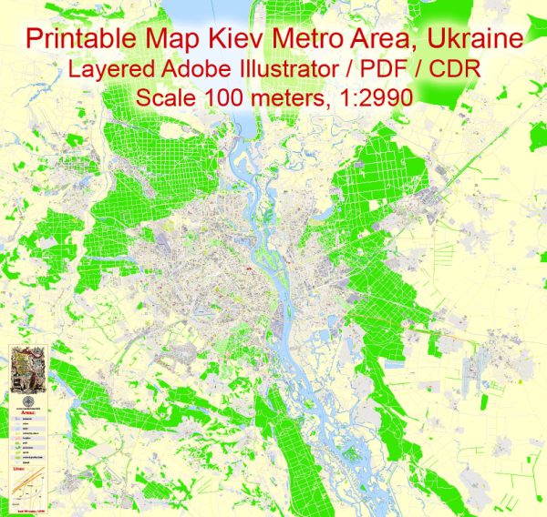
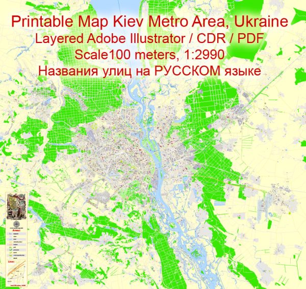
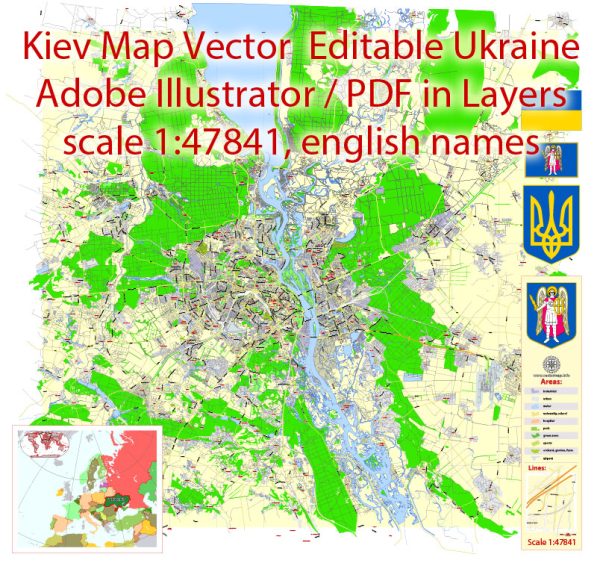
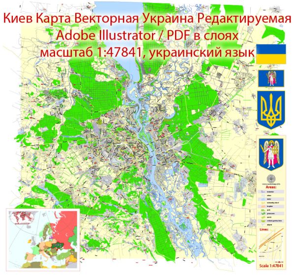
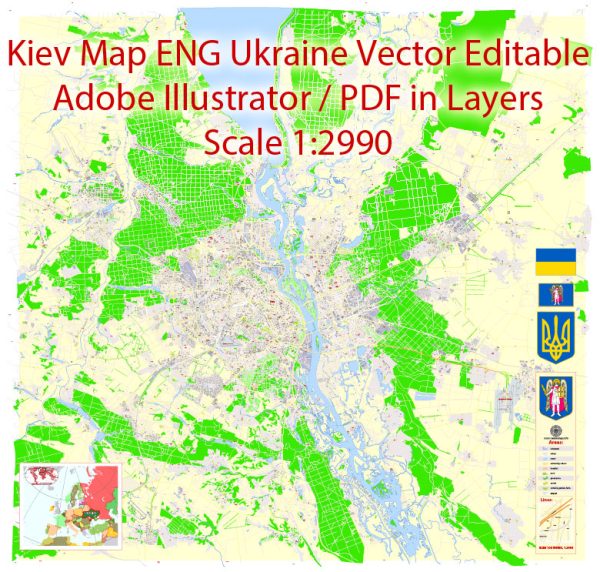
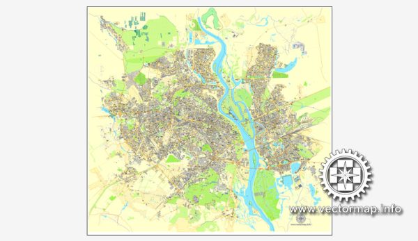
A general overview of the principal waterways, bridges, and main roads in Kiev, Ukraine. We provide you with the most accurate and up-to-date vector maps in Adobe Illustrator, PDF and other formats, designed for editing and printing. Please read the vector map descriptions carefully.
Waterways:
- Dnieper River: The Dnieper River flows through the heart of Kiev, dividing the city into the Right Bank and Left Bank. It is one of the major rivers in Europe and plays a crucial role in the city’s geography and transportation.
Bridges:
- Darnytskyi Bridge (Paton Bridge): This is one of the most iconic bridges in Kiev, spanning the Dnieper River and connecting the Left Bank and the historical center of the city on the Right Bank.
- Parkovy Pedestrian Bridge: A modern pedestrian bridge offering panoramic views of the city, connecting the areas near the Mariinsky Park with the Trukhaniv Island.
- Metro Bridge: A bridge carrying the Syretsko-Pecherska Line of the Kiev Metro across the Dnieper River.
Main Roads:
- Khreshchatyk Street: The central street in Kiev, running from European Square to Bessarabska Square. It is a major shopping and cultural hub.
- Independence Avenue (Khreschatyk): One of the main thoroughfares in Kiev, it runs parallel to Khreshchatyk Street and is a significant traffic artery.
- Peremohy Avenue: Connecting the central part of Kiev with the southwestern districts, it is an important road with various shops, businesses, and residential areas.
- Moskovska Street: Running through the historical part of the city, this street connects the European Square with the Podil district.
- Victory Avenue (Avenue of Victory): A major avenue in Kiev, extending from the central part of the city to the southwestern districts.
Remember that urban infrastructure can change, and new developments may have occurred since my last update. It’s recommended to check with local sources or maps for the most current information on Kiev’s waterways, bridges, and main roads.

 Author: Kirill Shrayber, Ph.D. FRGS