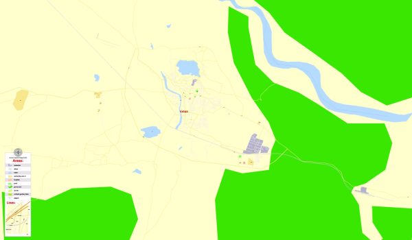
India is a vast and diverse country located in South Asia, covering an area of approximately 3.29 million square kilometers (1.27 million square miles). It is the seventh-largest country in the world by land area and the second-most populous, with over 1.3 billion people.
Here are some key geographical features and characteristics of India:
- Location:
- India is situated in South Asia and is bordered by Pakistan to the northwest, China and Nepal to the north, Bhutan to the northeast, and Bangladesh and Myanmar to the east.
- To the south, it is bounded by the Indian Ocean.
- Topography:
- The country’s topography is diverse, featuring the Himalayan mountain range in the north, the Gangetic Plain, and the Deccan Plateau in the center, and coastal regions to the west and east.
- The Himalayas, the world’s highest mountain range, form India’s northern boundary, with several peaks over 7,000 meters, including the highest, Mount Everest.
- Rivers:
- The Ganges (Ganga) and the Brahmaputra (Jamuna) are two major rivers that define the northern plains. These rivers, along with their tributaries, form one of the most fertile regions in the world.
- The river systems also play a crucial role in the cultural and religious practices of the country.
- Climate:
- India has a varied climate, ranging from tropical in the south to temperate in the north. The country experiences three main seasons: summer, monsoon, and winter.
- The Himalayan region witnesses alpine and tundra climates, while the coastal areas are influenced by the tropical monsoon.
- Biodiversity:
- India is known for its rich biodiversity, hosting a wide variety of flora and fauna. The country has several national parks and wildlife sanctuaries aimed at conserving its diverse ecosystems.
- The Western Ghats and the Eastern Ghats are two mountain ranges running parallel to the west and east coasts, respectively, contributing to high biodiversity.
- Deserts:
- The Thar Desert, also known as the Great Indian Desert, is located in the northwestern part of the country, covering parts of the states of Rajasthan, Gujarat, Punjab, and Haryana.
- Islands:
- India has several islands, the Andaman and Nicobar Islands in the Bay of Bengal and the Lakshadweep Islands in the Arabian Sea being the most notable.
- Economic Significance:
- India’s geographical diversity contributes to its economic strength, with agriculture, industry, and services playing vital roles in its economy.
In summary, India’s geography is incredibly diverse, encompassing mountains, plains, plateaus, rivers, deserts, and coastlines. This diversity has shaped the country’s culture, history, and economic activities.


 Author: Kirill Shrayber, Ph.D.