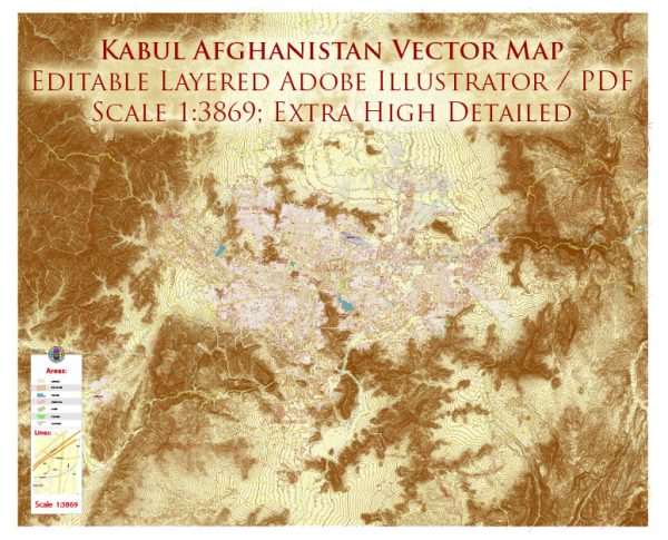
A general description of some principal streets and roads in Kabul, Afghanistan. We provide you with the most accurate and up-to-date vector maps in Adobe Illustrator, PDF and other formats, designed for editing and printing. Please read the vector map descriptions carefully. Additionally, due to the nature of the city and potential changes over time, the details provided here may not cover every street.
- Airport Road (Kabul International Airport Road): This road connects Kabul city to the Hamid Karzai International Airport. It is a crucial route for travelers and cargo transport.
- Darul Aman Road: This road leads to the Darul Aman Palace, a historic palace in Kabul. It is a significant thoroughfare in the city.
- Charahi Shahid Square (Martyrs’ Square): This is a central square in Kabul, and several major roads intersect here. It is a bustling area with shops, businesses, and government buildings.
- Pashtunistan Square: Located in the heart of Kabul, this square is named after the Pashtunistan region. It is a busy intersection with various shops and commercial activities.
- Chicken Street (Shor Bazaar): Although not a major road, Chicken Street is a famous shopping street in Kabul, known for its markets, antique shops, and traditional Afghan crafts.
- Jalalabad Road: This road leads eastward toward the city of Jalalabad. It is an essential route for trade and transportation between Kabul and eastern Afghanistan.
- Kabul-Jalalabad Highway: Connecting Kabul to the eastern provinces, this highway is a vital transportation route for both people and goods.
- Kabul-Kandahar Highway: This highway connects Kabul to the southern city of Kandahar, passing through several important towns and cities.
- Wazir Akbar Khan Road: This road is in a prominent neighborhood in Kabul and is known for its diplomatic missions, foreign embassies, and government offices.
- Pul-e Mahmood Khan (Mahmood Khan Bridge): This bridge is a key landmark in Kabul, crossing the Kabul River. It connects the central part of the city to the western neighborhoods.
It’s important to note that the security situation in Kabul can change, and some areas may be restricted or subject to increased security measures. Always check for the latest information and adhere to local guidance when navigating the city. Additionally, consider the possibility of changes in road names or conditions due to ongoing developments in the region.


 Author: Kirill Shrayber, Ph.D.