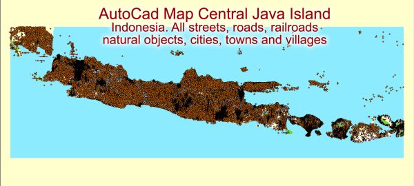
Java, the most populous island in Indonesia, is home to several major cities and an extensive network of roads. Here are some of the main cities and roads on the island:
Main Cities:
- Jakarta:
- The capital city of Indonesia, Jakarta is located on the northwest coast of Java. It is the political, economic, and cultural center of the country.
- Surabaya:
- Situated on the northeastern coast, Surabaya is the second-largest city in Indonesia and serves as a major economic and trading hub.
- Bandung:
- Located in the western part of Java, Bandung is known for its cool climate and is a center for education and technology.
- Semarang:
- Positioned on the north coast, Semarang is a port city and an important center for trade and commerce.
- Yogyakarta:
- A cultural and historical city, Yogyakarta is known for its traditional arts, cultural heritage, and the famous Borobudur and Prambanan temples.
- Malang:
- Situated in East Java, Malang is a city with a pleasant climate and is a popular destination for tourists.
Main Roads:
- Trans-Java Highway:
- The Trans-Java Highway is a major road network that spans the entire length of Java from west to east, connecting Jakarta to Surabaya. It is a crucial transportation route for both goods and passengers.
- Jakarta–Bandung High-Speed Railway:
- Under construction as of my last knowledge update in January 2022, this high-speed railway will connect Jakarta and Bandung, significantly reducing travel time between the two cities.
- Surabaya–Semarang–Jakarta Toll Road:
- This toll road connects the major cities of Surabaya, Semarang, and Jakarta, facilitating efficient transportation and trade activities.
- Yogyakarta–Solo Toll Road:
- Connecting Yogyakarta and Solo, this toll road enhances connectivity in the central part of Java.
- Cipularang Toll Road:
- Linking Jakarta and Bandung, the Cipularang Toll Road is a crucial transportation route for commuters and cargo.
- North Coast Road:
- This road runs along the north coast of Java, passing through cities like Semarang and Surabaya, and plays a significant role in regional connectivity.
- South Coast Road:
- Running along the south coast, this road is another important transportation route connecting various cities and regions in Java.
We provide you with the most accurate and up-to-date vector maps in Adobe Illustrator, PDF and other formats, designed for editing and printing. Please read the vector map descriptions carefully.


 Author: Kirill Shrayber, Ph.D. FRGS