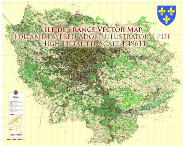
Île-de-France is the wealthiest and most populous administrative region in France, encompassing the capital city of Paris and its surrounding suburbs. It is located in the north-central part of the country and is often referred to as the “Paris Region.” Here are some of the main cities and roads in Île-de-France:
Main Cities:
- Paris:
- The capital and largest city of France, known for its iconic landmarks such as the Eiffel Tower, Louvre Museum, and Notre-Dame Cathedral.
- Divided into administrative districts called arrondissements.
- Versailles:
- Famous for the Palace of Versailles, a symbol of absolute monarchy in France and a UNESCO World Heritage site.
- Saint-Denis:
- Home to the Basilica of Saint-Denis, a medieval abbey and the burial place of many French kings.
- Boulogne-Billancourt:
- A suburb of Paris and the most populous commune in the Île-de-France region.
- Montreuil:
- A commune in the eastern suburbs of Paris, known for its diverse population.
- Argenteuil:
- Located on the banks of the Seine River, it is one of the largest and most populous suburbs of Paris.
- Cergy:
- Part of the new town of Cergy-Pontoise, a planned urban area northwest of Paris.
Main Roads:
- Boulevard Périphérique:
- A ring road encircling Paris, separating the city into the inner and outer suburbs.
- Autoroute A1:
- Connects Paris to Lille and serves as a major gateway to Northern Europe.
- Autoroute A6:
- Links Paris to Lyon and the south of France.
- Autoroute A4:
- Connects Paris to Strasbourg and serves as a major east-west route.
- Autoroute A13:
- Runs westward from Paris to Normandy.
- Autoroute A86:
- An outer ring road that encircles Paris, providing a bypass for traffic avoiding the city center.
These are just a few examples, as Île-de-France has an extensive road network connecting its various cities and suburbs. The region’s transportation infrastructure is vital for the economic and social activities of both Paris and its surrounding areas.


 Author: Kirill Shrayber, Ph.D. FRGS