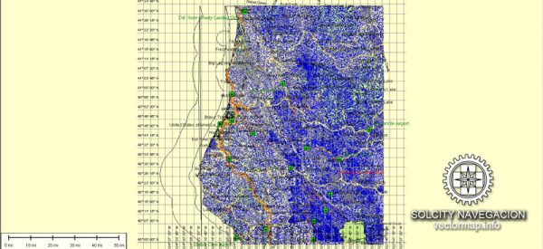
Humboldt County is located in Northern California and is known for its stunning natural beauty, including redwood forests and rugged coastline.
A general overview of some principal streets and roads.
We provide you with the most accurate and up-to-date vector maps in Adobe Illustrator, PDF and other formats, designed for editing and printing. Please read the vector map descriptions carefully.
- Highway 101: This is a major north-south highway that runs through Humboldt County, connecting it to other parts of California. It’s a key route for both local and long-distance travel.
- Highway 299: This east-west highway is another important route, connecting coastal communities with inland areas and Interstate 5.
- Broadway Street (Eureka): Broadway Street is a prominent street in Eureka, the county seat. It’s home to various shops, businesses, and historic buildings.
- Humboldt Hill Road: This road runs through the Humboldt Hill area, offering scenic views of the Humboldt Bay.
- Harris Street (Eureka): Harris Street is another notable street in Eureka, hosting various businesses, government offices, and cultural institutions.
- Myrtle Avenue (Eureka): Myrtle Avenue is known for its historic architecture, including Victorian houses. It’s a charming street with shops and restaurants.
- Arcata Plaza: Located in the city of Arcata, the Arcata Plaza is a central gathering place surrounded by local shops, cafes, and businesses.
- Samoa Boulevard: This road leads to the peninsula of Samoa, offering access to the Samoa Cookhouse and the Samoa Dunes Recreation Area.
- Avenue of the Giants: While not within Humboldt County, the nearby Avenue of the Giants is a scenic drive through the Humboldt Redwoods State Park, known for its towering redwood trees.
It’s always a good idea to check a current map or navigation system for the most accurate and up-to-date information on streets and roads in Humboldt County. Local resources, such as the county’s official website or a navigation app, can provide real-time details and any changes that may have occurred since my last update.


 Author: Kirill Shrayber, Ph.D. FRGS