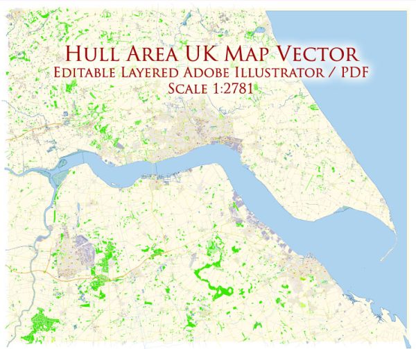
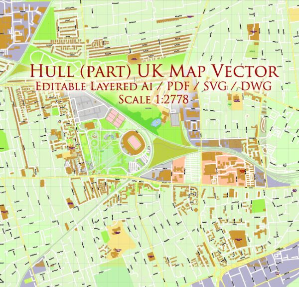
Hull, officially known as Kingston upon Hull, is a city in East Yorkshire, England. It has a rich history and is known for its maritime heritage. The city is divided by the River Hull and is connected to the Humber estuary. Here are some of the principal streets and roads in Hull:
- Humber Street: Located in the Fruit Market area, Humber Street has undergone significant redevelopment and is now a vibrant part of the city with shops, galleries, and cafes.
- Whitefriargate: This historic street in the city center dates back to medieval times and is known for its unique architecture and mix of shops.
- Queen’s Gardens: A beautiful public space in the heart of the city, Queen’s Gardens is surrounded by important buildings, including Hull City Hall.
- Jameson Street: A major shopping street in the city center, Jameson Street is home to various retail outlets and connects to St Stephen’s Shopping Centre.
- Alfred Gelder Street: This street features the Hull Maritime Museum and is named after a former mayor of Hull.
- Ferensway: Ferensway is a central road that runs through the city and is home to Hull Paragon Interchange, which includes the bus and train stations.
- Beverley Road: One of the main arterial routes in and out of Hull, Beverley Road is lined with shops, restaurants, and residential areas.
- Anlaby Road: Another major road in Hull, Anlaby Road connects the city center with the western suburbs and is known for its diverse range of businesses.
- Clarence Street: This street is close to Hull’s Old Town and is known for its historic architecture and cultural attractions.
- Princes Avenue: Located in the Avenues area, Princes Avenue is known for its trendy bars, restaurants, and independent shops.
- Holderness Road: Running to the east of the city, Holderness Road is a significant route with various amenities and residential areas.
- Castle Street: Leading to Hull’s historic Old Town, Castle Street is home to Hull’s iconic Holy Trinity Church and Hull College.
These are just a few examples, and there are many more streets and roads in Hull, each with its own character and history. The city’s layout has been influenced by its maritime past, and exploring its streets provides a glimpse into its diverse heritage.
We provide you with the most accurate and up-to-date vector maps in Adobe Illustrator, PDF and other formats, designed for editing and printing. Please read the vector map descriptions carefully.


 Author: Kirill Shrayber, Ph.D. FRGS