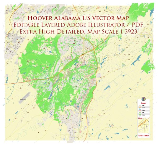
Principal streets and roads in Hoover, Alabama, some general information about the city’s road network based on common features found in many cities.
We provide you with the most accurate and up-to-date vector maps in Adobe Illustrator, PDF and other formats, designed for editing and printing. Please read the vector map descriptions carefully.
- Interstate Highways:
- Hoover is served by several major highways, including Interstate 459 (I-459), which forms a partial loop around the Birmingham metropolitan area. Check for interchanges and exits within Hoover.
- US Highways:
- U.S. Route 31 and U.S. Route 280 are important highways in the region. They may pass through or near Hoover.
- State Highways:
- Alabama State Route 150 is a significant state highway in the area. It’s possible that other state routes also traverse Hoover.
- Major Roads and Streets:
- Lorna Road, Montgomery Highway, and John Hawkins Parkway are examples of major roads that could be important in Hoover.
- Commercial Areas:
- Areas with significant commercial and retail development, such as shopping centers and business districts, often have well-developed road networks. Patton Creek Shopping Center and the Riverchase Galleria area are worth exploring.
- Neighborhood Streets:
- Hoover has a residential layout with various neighborhoods. Subdivisions and residential streets form the local network.
For the most accurate and up-to-date information on principal streets and roads in Hoover, I recommend checking with local sources such as the city government, local maps, or online mapping services like Vectormap.Net. These source will provide real-time data on road conditions, closures, and the most accurate street-level information.


 Author: Kirill Shrayber, Ph.D. FRGS