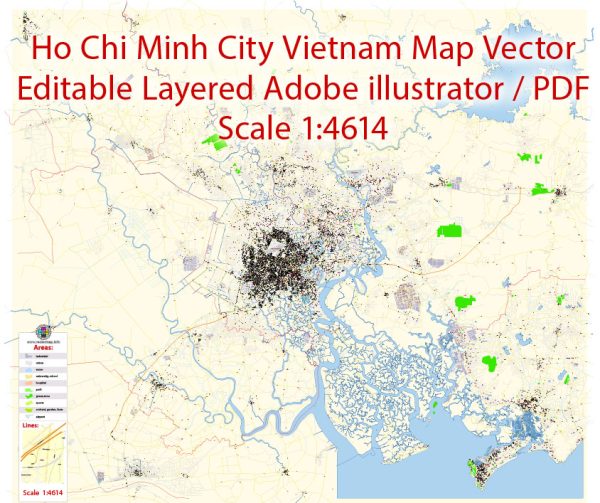
Ho Chi Minh City, formerly known as Saigon, is the largest city in Vietnam and a major economic and cultural hub. The city is characterized by a network of streets and roads that vary in size and function. Here are some principal streets and roads in Ho Chi Minh City:
- Dong Khoi Street:
- One of the most famous streets in the city, known for its upscale shops, hotels, and restaurants.
- Located in District 1, it runs from Notre-Dame Cathedral Basilica of Saigon to the Saigon River.
- Le Loi Street:
- A major thoroughfare in District 1, home to shops, commercial buildings, and the Vincom Center shopping mall.
- It intersects with Nguyen Hue Walking Street.
- Nguyen Hue Walking Street:
- A pedestrian-only street in District 1, often hosting cultural events and festivals.
- Features modern architecture, shopping, and entertainment options.
- Nguyen Van Binh Street (Book Street):
- A unique street in District 1 known for its bookstores and cafes, creating a literary and cultural atmosphere.
- Tran Hung Dao Street:
- A significant street that runs through District 1 and is known for its diverse range of shops and businesses.
- Pham Ngu Lao Street:
- Famous for its vibrant nightlife, with numerous bars, clubs, and budget accommodations.
- Located in District 1, it is a popular area for backpackers.
- Vo Van Kiet Boulevard:
- A major east-west route connecting Districts 1 and 5, lined with government buildings and commercial establishments.
- Cach Mang Thang Tam Street:
- Named after the August Revolution, it is a busy street with a mix of businesses and residential areas.
- Mai Chi Tho Avenue:
- An important arterial road connecting District 2 and District 7, known for its modern development and high-end residential complexes.
- Ton Duc Thang Street:
- Runs along the Saigon River in District 1, offering scenic views and access to various riverside attractions.
- Hai Ba Trung Street:
- Passes through District 1 and is known for its shopping opportunities, including boutiques and fashion stores.
- Le Duan Boulevard:
- Home to several government offices, luxury hotels, and the Reunification Palace.
- Connects District 1 with District 3.
These are just a few examples, and Ho Chi Minh City has a dense network of streets and roads that cater to the diverse needs of its residents and visitors. The city’s street life is vibrant, reflecting a mix of modern development and historical charm.


 Author: Kirill Shrayber, Ph.D. FRGS